Josh Rubenstein's Weather Forecast (May 8)
Expect the possibility of showers and thunderstorms throughout the day Friday.
Watch CBS News
Expect the possibility of showers and thunderstorms throughout the day Friday.
We are still on track for a little wet weather here in the Southland.

Southern California was preparing for a winter-like storm Thursday.
It will be a relatively cool day Wednesday with temperatures running a good 5 to 8 degrees below average.
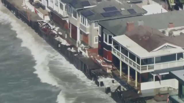
Expect another round of heavy surf throughout the day. A thick marine could possibly squeeze out a little drizzle Tuesday morning.
Good morning! You can expect cooler weather this week.
It's still pretty warm across the Southland Thursday.
Expect temperatures to be well above average once again. Wednesday.
An off-shore flow remains in place, but we don't have to worry about winds.
Expect a windy and warm Monday with temperatures well above average.
Temperatures will remain below average through Saturday.
Good morning! A trough in place over the region will keep us cool, cloudy and somewhat unsettled over the next few days.
Cooler weather and some more clouds Monday with temperatures running below average in the 60s and 70s.
Expect a warm and sunny day Friday with temperatures seven to 10 degrees above average.
Expect very warm weather for the next couple of days as the off-shore flow and high pressure still dominate. Highs should run 12 to 15 degrees above average.
Good morning! Gusty winds still on tap today, especially through the late morning and mid-day.
Expect a few more overnight clouds, temperatures dropping and gusty winds at the beginning of the week.

Southern California residents were experiencing more of the record-breaking heat they endured Thursday.

Winds continued to wreak havoc on the Southland Wednesday morning.
Look for a healthy off-shore flow to develop over the next few days as temperatures increase into the upper 80s and 90s.
Expect the windy conditions over the next few days. Temperatures will continue on a warming trend towards Thursday and Friday.
While more hot weather is headed our way by Wednesday, temperatures today will hover in the low to mid-70s.
This first day of spring feels a little more June Gloomy. Look for a similar regime with clouds in the morning and burning off later for hazy sunshine the next few days.
Skies will clear through the day Thursday. Look for some general warming over the next couple of days before things cool slightly over the weekend.
Temperatures will top out in the upper 70s to low 80s Tuesday. The on-shore flow will return so look for more clouds.