Josh Rubenstein's Weather Forecast (Mar. 20)
Tuesday marks the first full day of spring, the Vernal Equinox was last night at 10:15 p.m.
Watch CBS News
Tuesday marks the first full day of spring, the Vernal Equinox was last night at 10:15 p.m.
Look for daytime highs to top out in the upper 50s to low 60s.
The persistent marine layer continues for the rest of the week. While there are some clear skies inland Wednesday morning there will be varying amounts of cloudiness around the area throughout the early part of the day.
The forecast looks on track through the middle of the work week with morning low clouds and temperatures that are below average for this time of year.
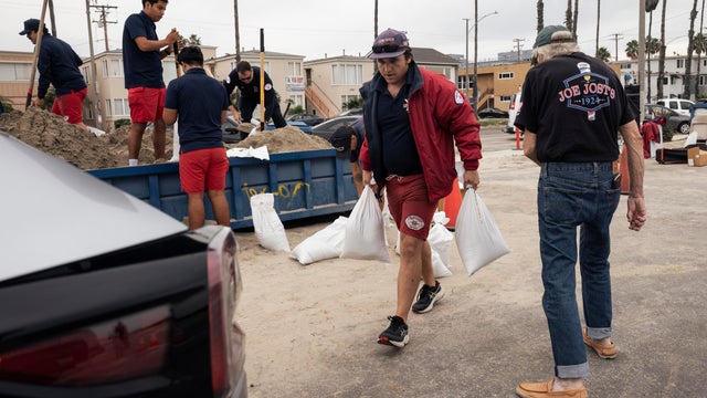
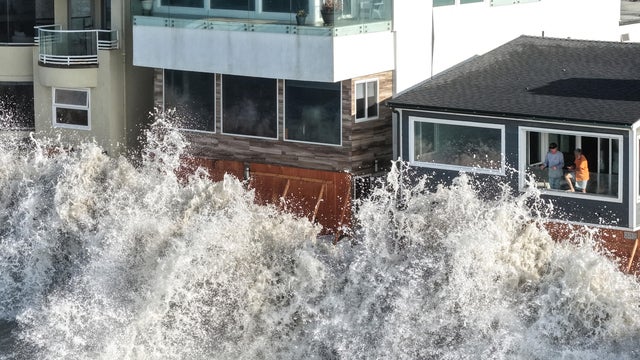
A storm Monday will bring rain, winds and low snow levels to the Southland.
Expect a little bit of cooling, but our daytime highs will still reach into the mid to upper 70s.
Temperatures are up Thursday with daytime highs in the upper 70s to low 80s.
Expect rain some time after 6 a.m. and it will stretch into the late morning. We are looking at about .30" to .75" of rain.
Areas around Southern California are left with a few gusts here and there. There are warnings still in effect for the Santa Clarita Valley and the Mountain areas. The rest of the viewing area is under a wind advisory.
Look for some slight cooling Wednesday with clouds building later on in the evening.
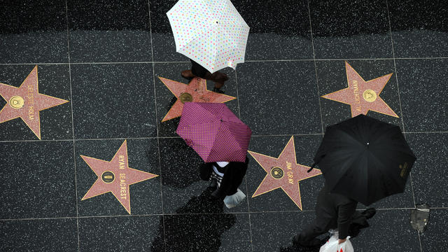
The National Weather Service issued a flood advisory for Los Angeles and Ventura counties until 9 p.m.
Look for cooler weather as we welcome the weekend.
Wednesday will bring pleasant weather for the middle of this work week.
Thursday will be a transitional day from the off-shore flow to the on-shore flow as the chance of showers moves into the Southland.
It will be another chilly start as overnight lows dropping down below average.

Increasing cloud cover rolled on into the Southland Friday along with showers and lightening activity across parts of the region.

Rich Fields' look at LA's Weather...
Friday brings the last day with low clouds, patchy fog and just a hint of drizzle.
The high pressure ridge that has been keeping us warm and has also been pulling up that tropical moisture is starting to retreat to the east.
Low clouds and drizzle are on tap Friday morning. The marine layer is running at 3,500' so most of the metro areas in Los Angeles are shrouded by low clouds.
The fog is creeping into our valley cities Wednesday morning.
After some patchy fog Tuesday morning, look for a warmer day as high pressure in the Pacific nudges over to the west coast.
Look for just some patchy low clouds Monday with clear skies inland.
With a dry off-shore flow in place look for another warm and sunny afternoon.
Angelenos can expect warmer temperatures Monday as a high pressure continues to build.