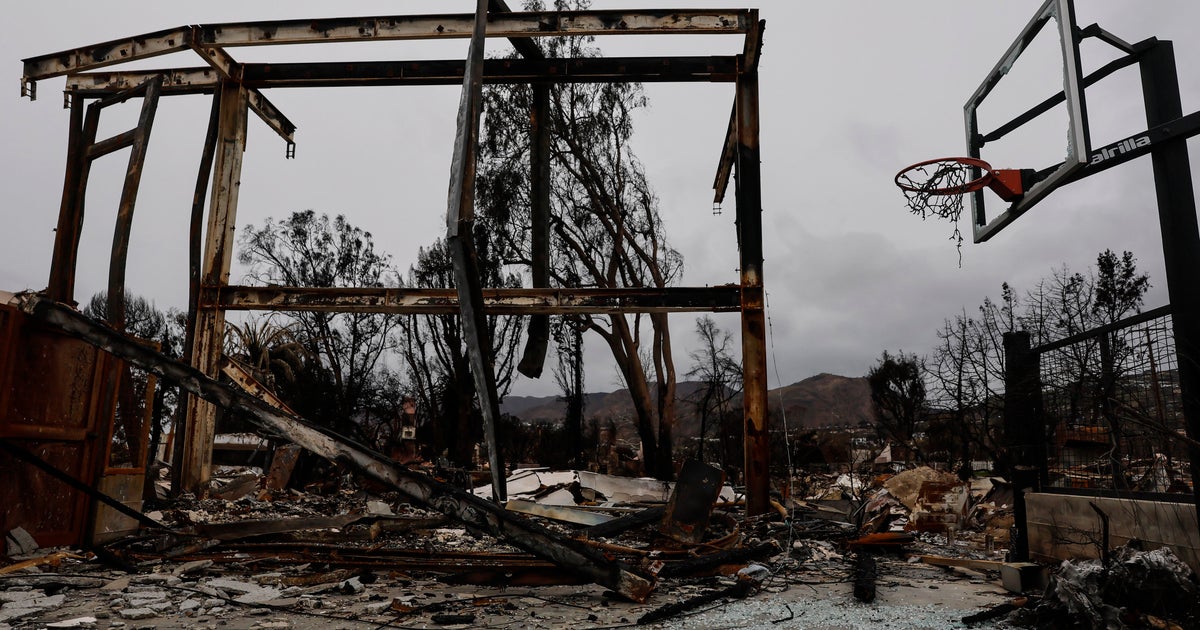
An aerial view of the destructive trail of the Eaton Fire
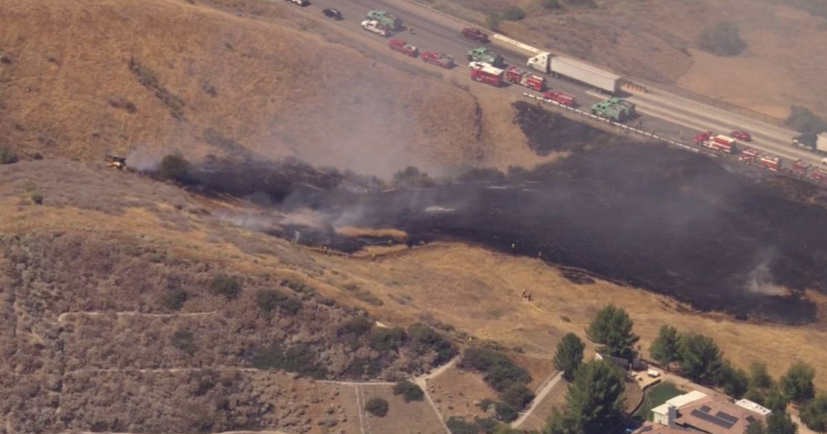
SkyCal flew over a portion of the San Gabriel Valley on Friday, offering an aerial look at some of the areas impacted by the Eaton Fire.
A KCAL News photographer overlaid a street map. Because of the ongoing firefight and flight restrictions, SkyCal may not have captured every neighborhood.
SkyCal flew to the Pacific Palisades on Thursday.