Widespread rain with thunderstorms possible for Southeast Michigan

A strong winter storm system is bringing warmer temperatures and widespread rain to Southeast Michigan to end the weekend.
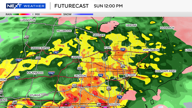
Scattered showers moved into the area early Sunday and have been expanding across southeast Michigan throughout the day.
Rounds of prolonged heavier rainfall are expected through the afternoon and evening hours, generally along or south of Interstate 69. This area is under a marginal risk for excessive rainfall.
There were some freezing rain concerns in the early morning as warm raindrops fell onto a marginally cold surface, especially in the thumb and Tri-cities, and possibly as far south as some areas in Oakland, Macomb and Lapeer counties.
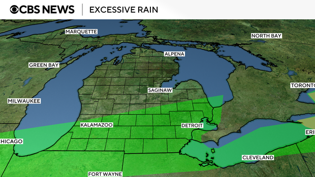
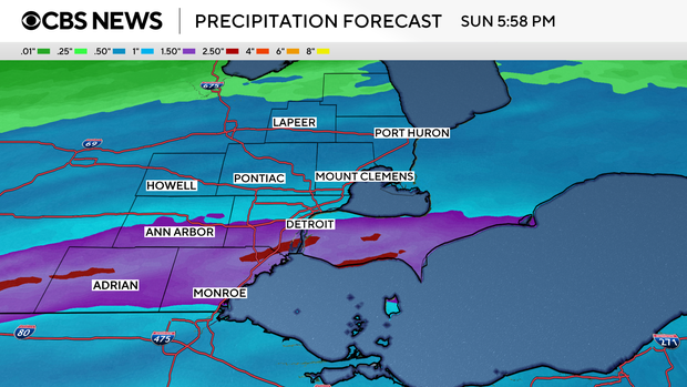
Rainfall totals around 1.5 inches are expected in the area shaded green in the photo above, with some localized totals nearing 2 inches.
Detroit Metro Airport was dealing with flight delays and flooding was reported around the region on Sunday afternoon.
Thunderstorms are possible on Sunday evening as temperatures climb into the low to mid-50s. Wind gusts could reach up to 50 mph during the storms.
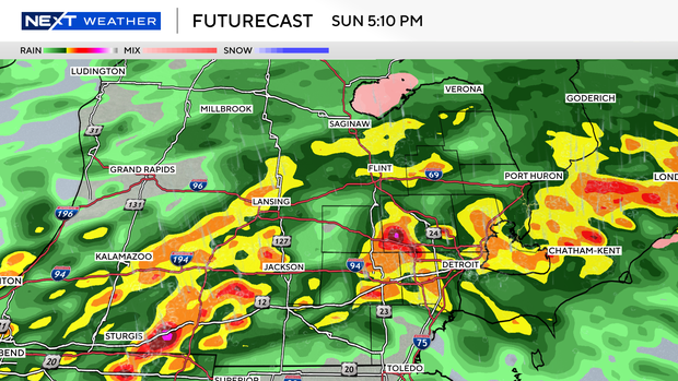
The rain will taper off through the overnight hours as winds increase and temperatures drop dramatically.
A high wind warning will be in effect from midnight to 9 p.m. on Monday with frequent gusts between 45 mph and 55 mph. Snow squalls, brief intense snow showers and brief whiteout conditions are expected throughout that day.