Hail, gusty winds possible Monday night in Southeast Michigan; NEXT Weather Alert Day on Tuesday

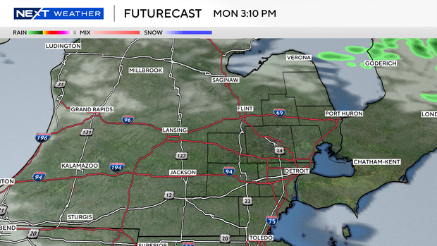
Widespread showers develop Sunday night as warm and humid air continues to move in from the southwest.
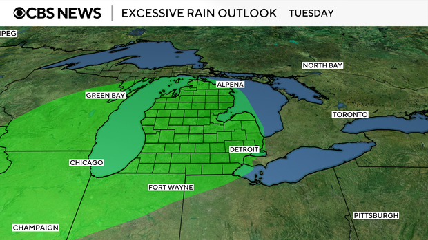
The highest rainfall amounts are expected in the Saginaw Valley and northern thumb.

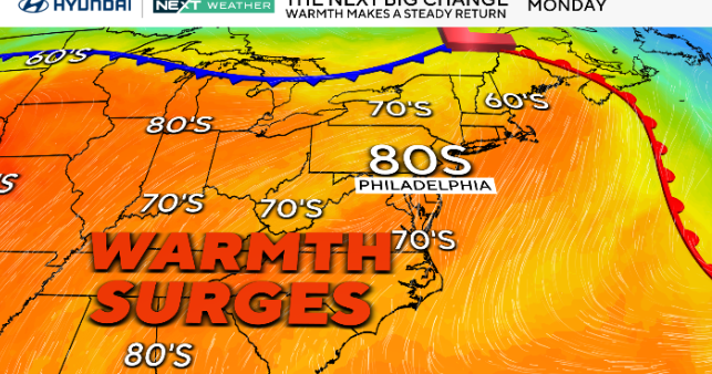
A warm week is expected with high temperatures well above average and periodic chances for thunderstorms Monday night through Thursday.

Monday looks to be mostly dry during the daylight hours, with a few hours of clearer skies expected later in the afternoon.
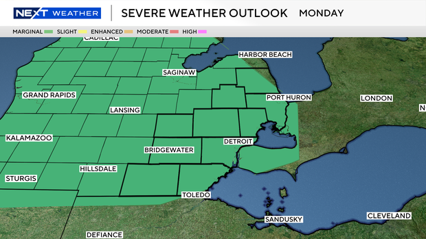
A marginal risk (1/5) of severe weather exists Monday night, with potential for large hail and gusty winds.
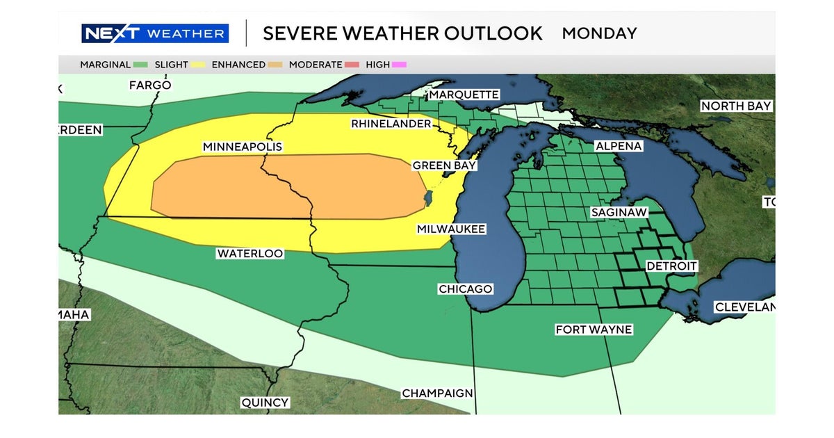
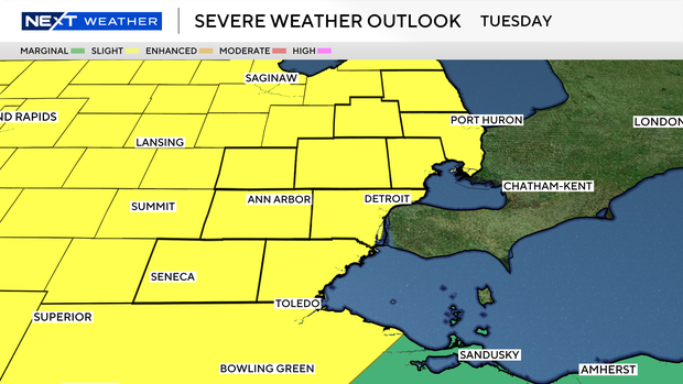
Tuesday is a NEXT Weather Alert Day as the latest Storm Prediction Center Day 3 outlook shows a slight risk (2/5) for severe weather for all of lower Michigan.
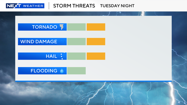
The timing of the storms looks primarily to be late Tuesday night through the overnight hours, with wind gusts up to 60 mph, large hail and tornadoes all possible.
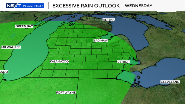
Locally, heavy rainfall potential also increases during the midweek period before dry and mild conditions move in for Friday.
As many of the stronger systems appear to be moving through at night, be sure to have phones charged and alerts set.