Clouds, Rain And Mountain Snow
DENVER (CBS4) - On the weather map we have an upper level low pressure system spinning up into the state from New Mexico. This has already produced lots of rain and high mountain snow over the southern stretches of the state. There will be rain and snow also, pushing into the northern and central mountains with a couple of inches above 11-thousand feet. The San Juan mountains will have the most snow accumulating. There is a Winter weather advisory for those areas until midnight Saturday into Sunday. Above 11-thousand feet the San Juans could see 12 inches of wet snow.

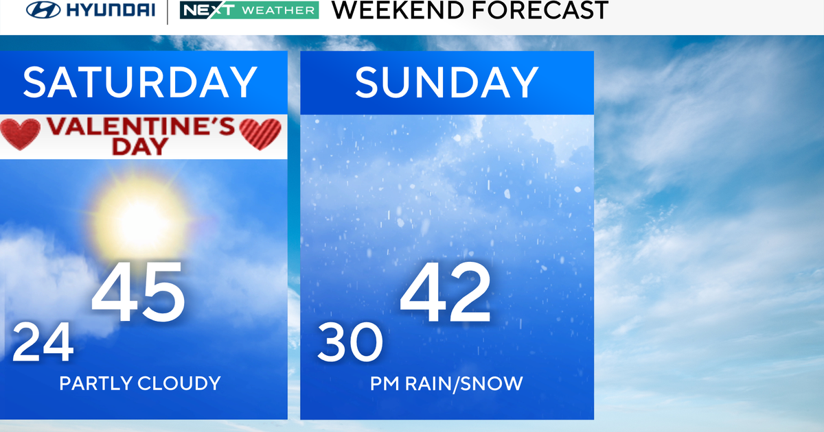
There may be a few isolated showers that make it into the Palmer Divide area with a few sprinkles in places like Castle Rock, Highlands Ranch and Parker. It looks like very slim odds that any rain will make into the Denver metro area. But, there will be lots and lots of cloud cover over the Front Range making for a cooler weekend.
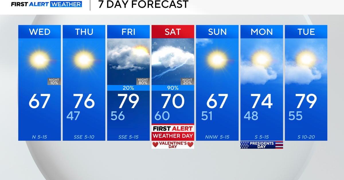
A weak cold front will swing through the state on Monday cooling temperature again. But, there will be hardly any moisture at all for eastern Colorado. So the Denver drought continues.
Don't forget Daylight Saving Time ends tonight. Set your clocks back at 2am. We all get an extra hour of sleep! Wooohooo!!

Meteorologist Dave Aguilera is a Colorado native and has been forecasting weather in the Rocky Mountain region for over 25 years! Connect with Dave on Facebook and on Twitter @DaveAgCBS.
