Denver Weather: Gusty Winds On The Way After Bumpy Weather Sunday Night
DENVER (CBS4) - A large cluster of thunderstorms moving across Colorado's northeastern plains Sunday night caused numerous reports of large hail. The same weather system responsible for the thunderstorms will cause very gusty winds along the Front Range Monday afternoon.
The largest hail in Colorado appears to happened in Sterling which is about 100 miles northeast of the Denver metro area. Golf ball size hail was reported there shortly before 11 p.m. on Sunday. Elsewhere hail generally ranged from pea-size to quarter-size.
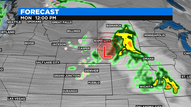
The weather system that triggered the thunderstorms will move east of Colorado on Monday causing a significant threat for severe weather in parts of Kansas, Missouri, and Oklahoma.
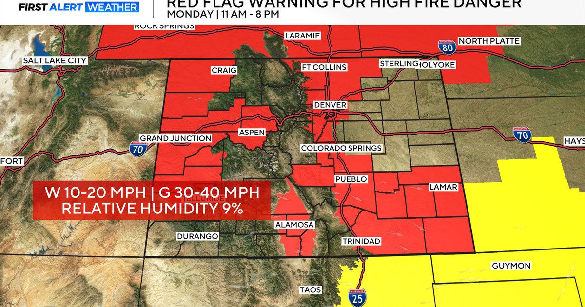
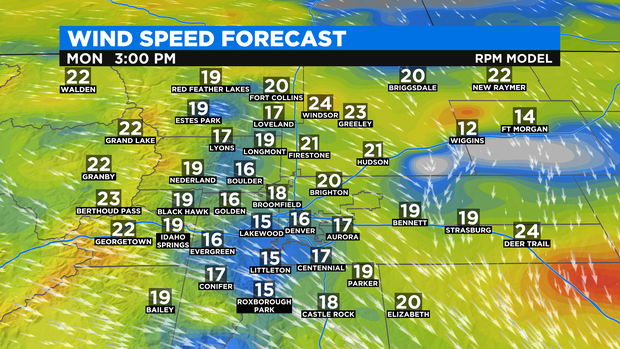
On the back side of the storm, gusty northerly winds will be found along the Front Range. Gusts could top 35 mph around Denver, Boulder, and Fort Collins between 10 a.m. and 6 p.m. Sustained wind speeds will generally range from 15 to 25 mph.
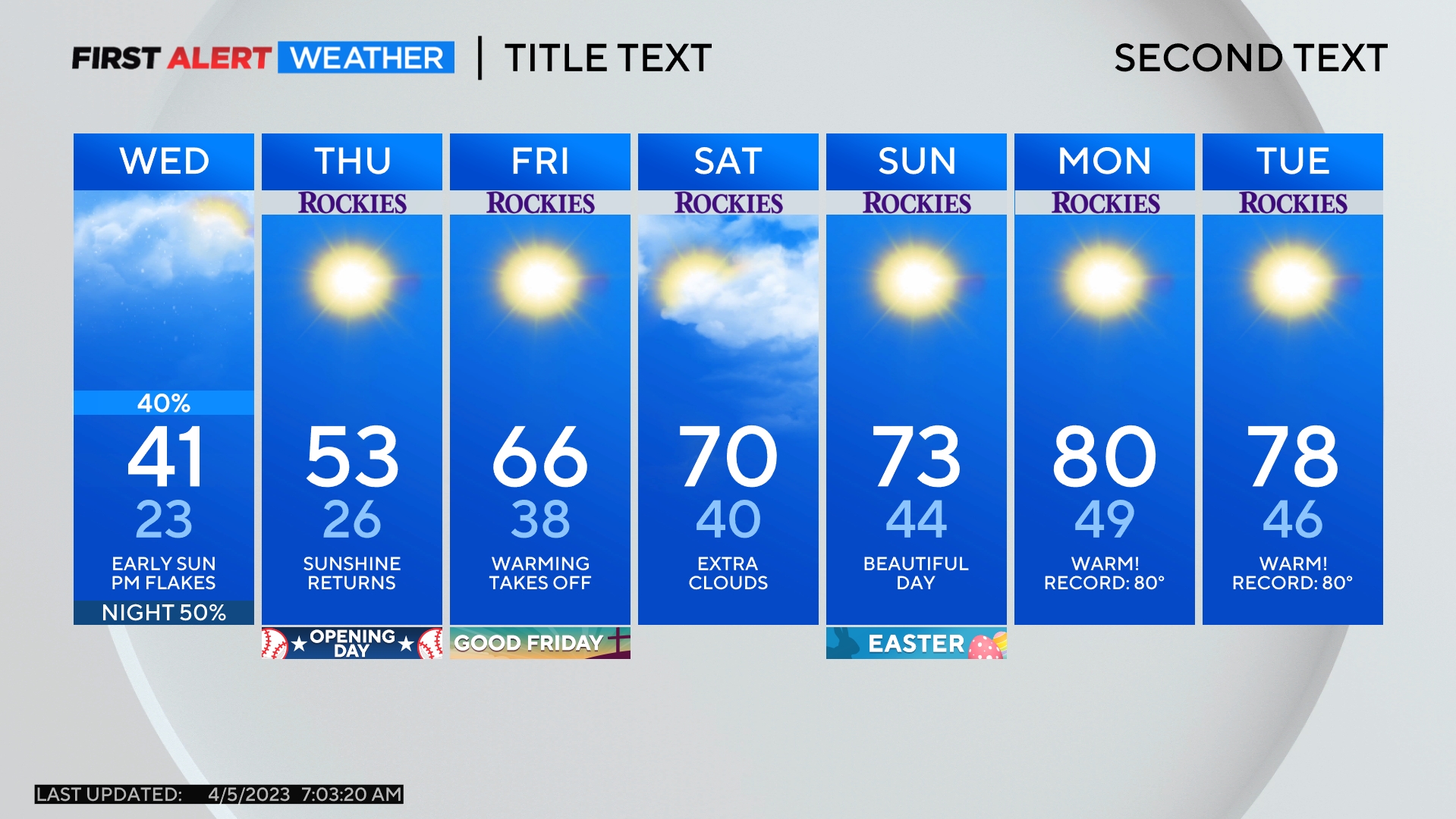
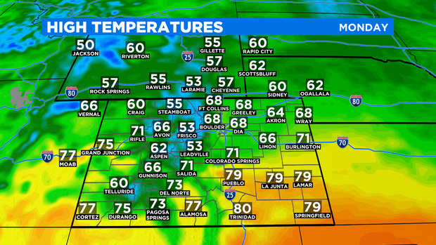
In terms of temperatures, Monday will be cooler than Sunday with highs in the upper 60s in the Denver metro area which is near normal for the first week in May.
High temperatures will return to the 70s on Tuesday and will stay there through Thursday. Then a change arrives Friday thanks to a cold front. Temperatures will drop into the 60s and will likely stay there through the weekend. Not far from normal for the second weekend in May.