Weather Whiplash: 30-Degree Temperature Swing On Monday
By First Alert Meteorologist Callie Zanandrie
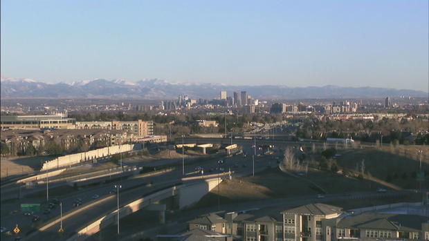
DENVER (CBS4) - Happy President's Day Weekend, Colorado! Our weekend kicks off with clear skies and plenty of sunshine.
Saturday and Sunday will be a great time to enjoy outdoor activities, as a weather shift will start to become noticeable as we hit President's Day.
Saturday temperatures will climb above average in comparison to the seasonal normal, and you can expect daytime highs in the mid 50s for the Denver metro area, with 30s and 40s in the mountains.
Sunday will be even warmer with temperatures in the Front Range reaching into the low 60s. In the southeastern portion of the state, we could see daytime highs in the low 70s.
Dry conditions are expected statewide Saturday and Sunday. Monday a cold front moves into the state, dropping temperatures quickly and delivering a band of snow moving from the mountains early to the metro area by the evening.

Winter travel conditions will return, so plan accordingly if you are going to be on the roads, whether it's mountain or metro area.
The storm will bring snow showers Tuesday and Wednesday. From Monday to Thursday, we could see 3-6 inches of snow accumulation in the Front Range and 1-2 feet of snow in some mountain areas. As the system gets closer, we will continue to fine tune the totals.
Besides the snow you will also notice a drastic drop in temperatures. Monday daytime highs will be in the low 30, Tuesday in the teens and Wednesday highs will only be in the single digits.


