Colorado Weather: Denver Ties The Record Before Soggy/Snowy Change
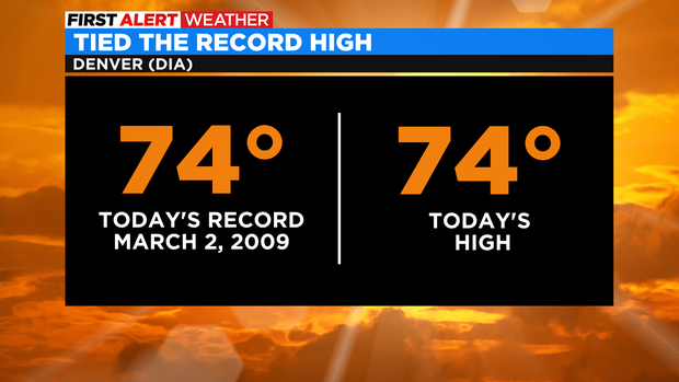
DENVER(CBS)- Talk about a warm start to March! Tuesday hits 69 degrees and Denver's high temperature for Wednesday soared to 74 degrees at Denver International Airport. That was just enough to tie the record high set in 2009!
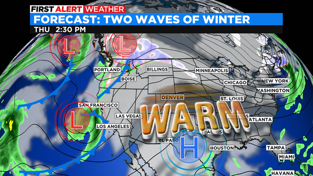
The warm weather is locked in place by a ridge of high pressure slowly working its way across the west. This ridge will keep delivering above normal temperatures thru Friday.
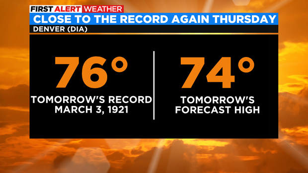
With the pattern still locked in place for Thursday Denver may get really close to another Record High!
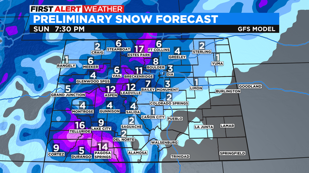
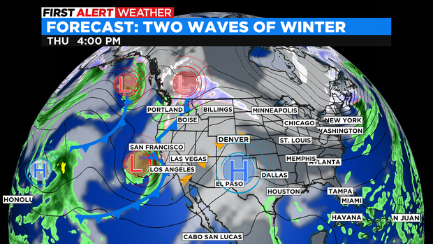
On the forecast map, we are watching a deep trough of low pressure that will bring in two storm systems over the weekend that will send Colorado back into a more winter pattern with rain, snow and cold.
For that reason we have a First Alert Weather Day issued for both Saturday and Sunday. Just to give everyone a heads up on the changing pattern of record heat to a mix of rain and snow for the weekend.

The first wave will bring snow to the mountains on Friday with rain for the plains on Friday night.
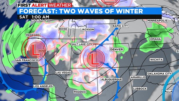
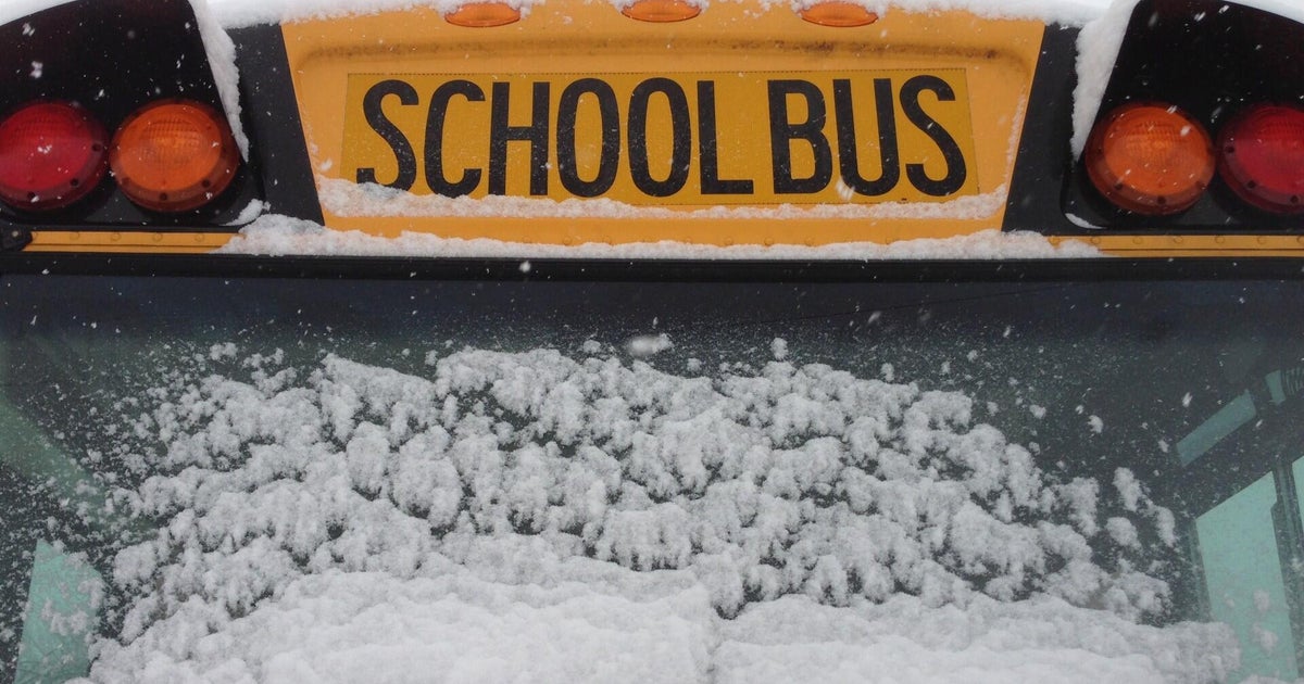
Saturday will be snowy in the mountains with morning rain changing to snow as the day goes on. Snow amounts will be light Saturday with lots of melting along with the mix of rain and snow.
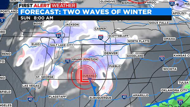
Sunday will be the colder day of the weekend. This will allow for more snow to fall and accumulate to finish out the weekend. Snow will still be very wet and spring-like. Heavy to shovel but, moisture packed.