Wheel Of Misfortune
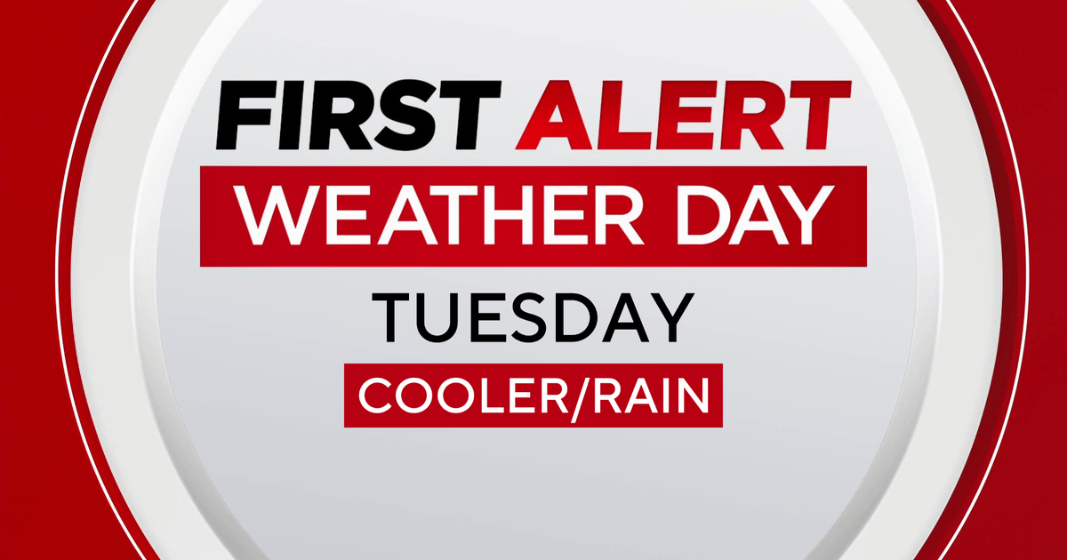
After some sizzling weather on Wednesday and Thursday, it was much cooler today with temperatures actually falling from 61-66 early this morning to 57-61 by early this afternoon as the rain became more widespread. If you enjoyed today's weather, chances are high that you will be happy with the next 4 days. The evolving pattern portends a lengthy stretch of dank, damp conditions with periodic rain of varying intensity. A weak wave of low pressure developing just south of Long Island early this evening will track to Cape Cod by early tomorrow morning. A swath of showers blossoming over Connecticut and the South Coast will impact much of the area overnight. Additionally, another ribbon of rain shifting eastward from NY will prolong the rain to about 7-9am. Some thunderstorms might rumble across mainly the Cape and southern Plymouth County late tonight and early tomorrow morning. Once this shield of rain shifts offshore in the morning, I only expect a few spotty sprinkles and patches of mist drying up but not followed by any clearing. The overcast could brighten but breaks are unlikely in most places as low-level moisture remains locked in. Consequently, the temperatures can only raise a few degrees from the middle 50s to the upper 50s to near 60 degrees except over Cape Cod where 60s are likely due to the proximity of the warm sector associated with the wave disturbance.
Meantime, an upper level low pressure system over the upper Great Lakes is going to shift southeastward. Within its circulation, minor perturbations are spinning. One of these will trigger a swath of showers and boomers in NY late tomorrow afternoon and these will proceed eastward across New England tomorrow evening. As the upper air low continues to dig into New England, its energy supply will initiate surface storm development offshore. Initially, a dry tongue will enable some sunshine Monday morning followed by scattered afternoon showers and possible boomers. After that, spiral bands of rain and mist from this system will be steered into the region on Tuesday and Wednesday by this wheel of misfortune. As a result, after highs of 65-70 on Monday, with a moist onshore flow, I doubt that temperatures will reach or exceed 60 degrees especially in eastern New England on Tuesday and Wednesday with nighttime lows in the lower 50s. The northeasterly wind will freshen at times to 12-25 mph along the coast. Presently, it appears that an upstream kicker system will shove the wheel offshore enabling a return of drier air and a ridge of high pressure on Thursday. Once that sun pops out, it will quickly warm to the middle to upper 70s except along the coast. However, that kicker system will arrive too quickly and produce showery rains and possible thunder Friday afternoon into Saturday morning. This forecast is undoubtedly upsetting and disappointing for many but the one good thing about this pattern is that no severe weather can be generated unlike the atmospheric setup that cranked out nasty damaging thunderstorms and tornadoes of the past two weeks. I, for one, am pleased that we have a break from that mean weather.
Joe Joyce delivers his latest AccuWeather Forecast in the morning and I shall return later in the day.
Enjoy the rest of the weekend.