Scattered Storms With Damaging Wind Gusts Possible Saturday
BOSTON (CBS) -- Essex, Middlesex, Suffolk, Bristol, and Plymouth counties were under storm warnings Saturday afternoon but those have since lifted.
Many of you were rudely awakened by thunderstorms between 5 and 8 o'clock on Saturday morning. This trend took place following the departure of the weak disturbance which triggered the action along a weak warm frontal boundary edging into New England.
As varying amounts of cloudiness lead to spells of sunshine raising the temperatures up to 80-85 from late morning into the afternoon, destabilization will resume especially as a cold frontal boundary and upper-level support approaches from the west-northwest.
Consequently, keep a watchful eye on the sky as eventual rebuilding clouds morph into a new round of scattered showers and storms in the muggy air.
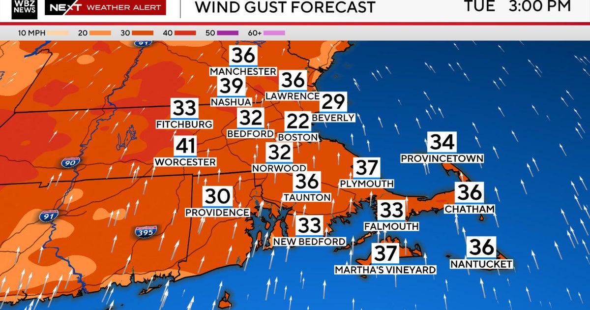
The ignition of this round looks to be in the 1-2 p.m. time frame. Sufficient parameters will be present to trigger the action but a solid squall line is not anticipated from this setup. Thus, not all areas will receive a storm but scattered spots will potentially experience the primary threat which is damaging wind gusts to 60 mph or so.
The secondary threat is for hail and in a few places, it could be large and also damaging at near or just over an inch in diameter! Other locations are vulnerable to smaller hail. Under any thunderstorm, torrential rain lasting a few to several minutes is possible along with dangerous scattered cloud to ground lightning strikes.
The highest risk of severe thunderstorms appears to be focused near and south of the Mass. Pike mainly over Conn., R.I., and southeastern Mass. from late afternoon into the first part of the evening. Herein lies the axis of great instability as forcing becomes the most prominent in those places and times. Once that axis shifts offshore later this evening, the weather will be peaceful overnight.
We do it all over again Sunday but it will not be a repeat performance in every way. First of all, there will not be any storms waking you early in the morning. In fact, there should be some sunshine from the get-go. A vigorous upper-level impulse will be diving southeastward into New England. Its pool of cold air aloft will result in an unstable atmosphere leading to lots of clouds blossoming into showers and storms. These will be rolling and rumbling southeastward earlier than today into southern N.H. by 11 a.m. then into the eastern Mass. and the Boston area by noon.
Batches of showers and storms may shift across the region well into the afternoon. Consequently, it will be cooler than Saturday with high temperatures mostly in the middle 70s. It will not be quite as humid and the sticky air will be shoved out to sea Sunday night so drier, more comfortable conditions will exist on Monday and Tuesday.
Keep an eye on the sky and check updates here on cbsboston.com and on WBZ-TV.


