Start Of March Brings Below Average Temperatures, Several Chances For Snow
BOSTON (CBS) – Monday is the last day of meteorological winter, which is made up of December, January and February. While we still have 20 more days of astronomical winter to go, there is some reason for optimism.
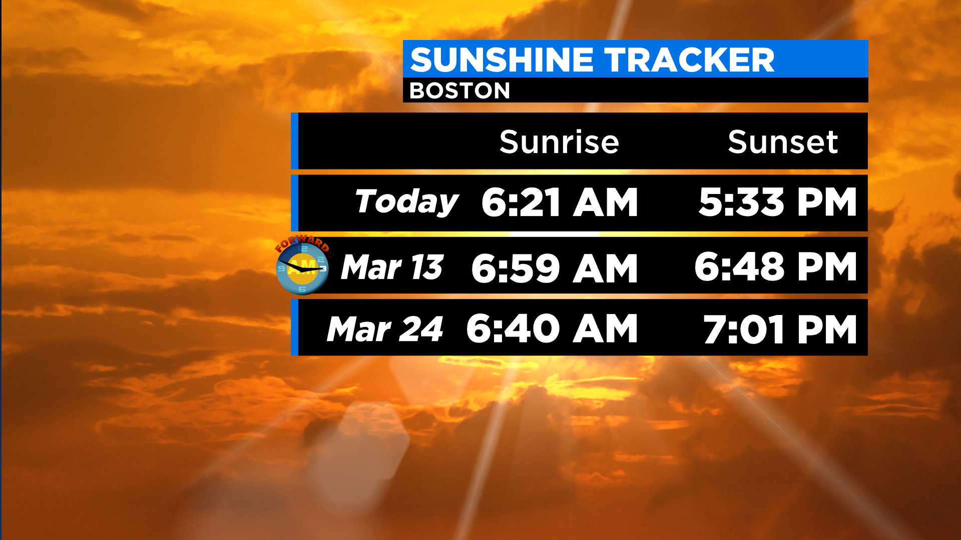
Daylight Saving Time begins in less than two weeks and 7 p.m. sunsets are a little more than three weeks away!
This week will generally feature below average temperatures (typically low-to-mid 40s for highs this week) and several fast-moving weather systems. We're not expecting any major storms but instead, several chances of minor, nuisance-type storms.
Monday will be the coldest day of the week with highs only in the 20s, about 15 degrees below the average.
Tuesday we get increasing clouds and temperatures in the upper 30s. Some rain showers are likely late, between 8 p.m. and midnight, perhaps falling as snow showers in the Berkshires, Worcester Hills and Monadnock region.

Wednesday is quiet during the day, but another quick-moving system arrives Wednesday night into Thursday morning. This one has a bit higher potential snow-wise and could drop a coating to a few inches of snow in time for the morning commute Thursday.
That storm clears quickly Thursday and we get another cold shot to finish the week. Highs on Thursday and Friday are in the low to middle 30s.
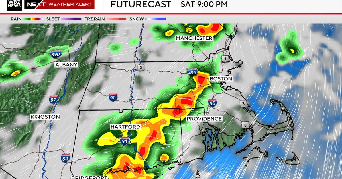
Lastly, there is potential for a more significant storm over the weekend, but there is lots of uncertainty there and more to come on that.
Follow Terry on Twitter @TerryWBZ