Weather Blog: Winter's Last Hurrah
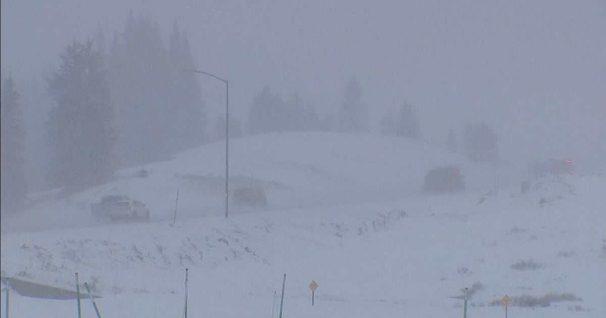
BALTIMORE (WJZ) -- Winter's last hurrah might end up being the biggest one all season as a major snowstorm begins to set up.
Winter Storm Warnings go into effect Monday night starting at 7 p.m. for portions of central Maryland, lasting through 2 p.m. Tuesday.
As of right now, snow will likely be developing between 8 p.m. through midnight Monday.
Some of the heaviest snow will be possible between Midnight and 8 a.m. Tuesday and could fall at rates as fast as 1-2 inches per hour. One thing to watch closely will be the rain/snow line as this system continues to develop.
High resolution modeling is trying to bring it as far inland as the I-95 corridor. If this happens, this will knock totals down quite a bit, especially for the city. Right now we are forecasting a general 6-12" of snow through Tuesday for central Maryland… but keep checking back because we might have to trim the totals down for some locations based on the rain/snow line.
While the rain/snow line will likely keep totals down for some areas, there will also be a "jackpot zone" north & west of Baltimore. Folks in this area could easly pick up a foot or more of snow.
Follow @CBSBaltimore on Twitter and like WJZ-TV | CBS Baltimore on Facebook