WEATHER BLOG: Warmer Weather Ahead
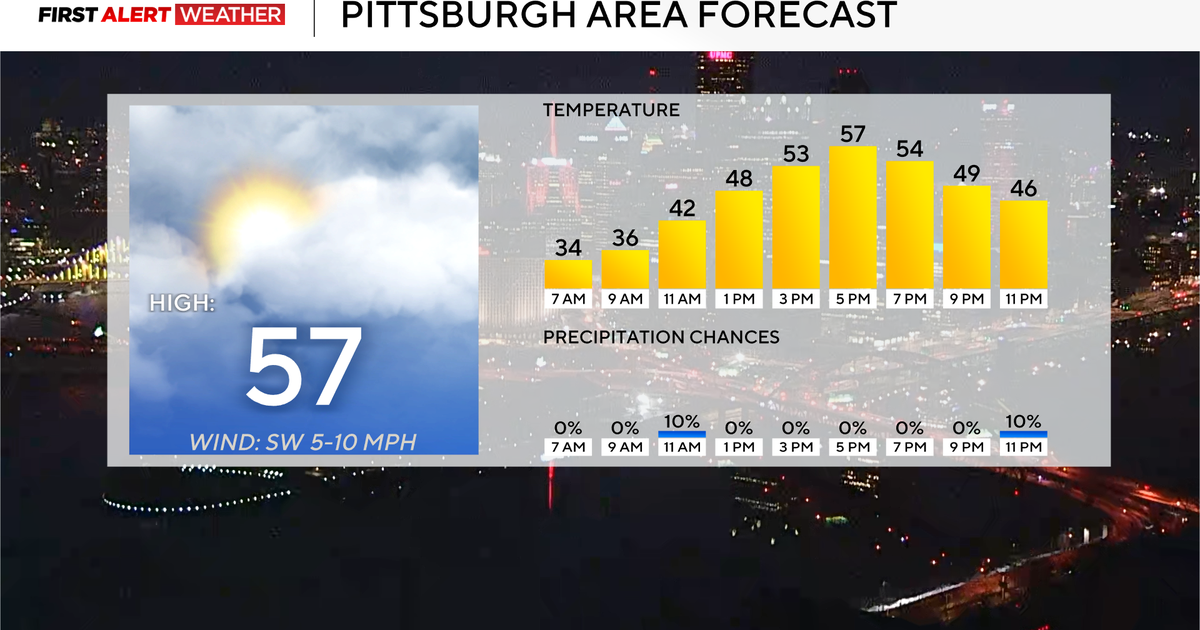
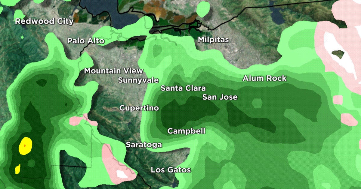
After the rain yesterday, we will continue to see clouds and perhaps a shower or two as we deal with a vigorous upper trough this morning. Any steady rain will end up to our north and east and as a push of drier air moves in, we should see some sun by the afternoon. The upper trough will move away and heights will rise tomorrow night...we
should see a comfortable evening.
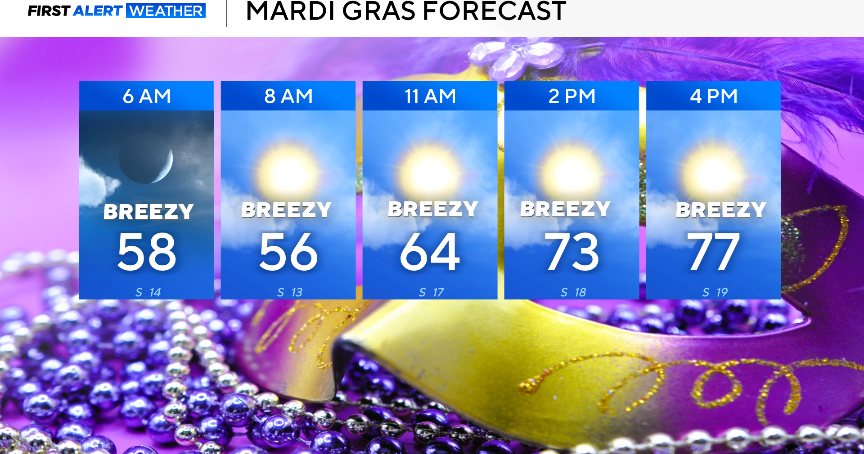
By Monday, the upper trough will push east of the region and heights will begin to rise. This should lead to a nice day with breezy conditions and temperatures in the 70s. This nice weather should last through most of the week, as a large area of high pressure controls our weather. A broad ridge aloft should promote some warming and we expect temperatures to rebound into the middle 80s for mid to late week - about 10
degrees above normal!
The next potential for any rain will come over the weekend. Modeling is still quite different with the timing of the next feature that comes from the Pacific Northwest, across the US-Canadian border toward New England. A front will cross the region at some point next weekend - likely later Saturday into Sunday.
