WEATHER BLOG: Sunday
High pressure controls our weather once again today with plenty of sunshine and temperatures into the middle 50s. High pressure moves off the coast this evening flipping the flow out of the southwest into the overnight. Another cold one tonight - down into the mid 20s in the suburbs to mid 30s in downtown Baltimore.
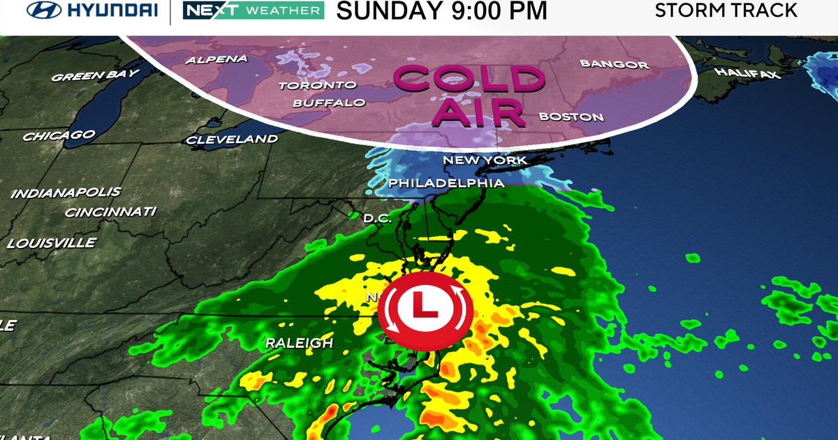
Monday will be a bit of a different story as an upper level low swings through and brings at least some clouds as a low pressure system develops off the eastern seaboard. Given the interaction expected between the upper low to our west and the developing low pressure, we should not see any impacts other than a few more clouds in the city. There may be a spotty shower well east along MD/DE shores. Temperatures will be similar to today in the mid 50s. Behind this system, it will be a bit cooler, but still well above average for this time of the year. Temperatures will be well above their respective average of 45-48, as they surpass 50 through much of the week under a developing upper ridge.
Next disturbance approaches Wednesday night and into Thursday morning with some warm advection/lift. This will likely translate into some additional clouds Wednesday night into Thursday and mentioning a rain shower is good at this juncture. Thursday may end up mainly dry with some clouds around, but temperatures will be warm as warm advection takes over and temps aloft rise. Guidance continues to be split for Friday, but the consensus is that an area of low pressure will likely develop across the midwest and track into the Great Lakes. Timing continues to differ, but GFS/Euro ensembles tend to agree with a rain chance, so we left it in for now.
Next weekend looks very warm, with records challenged. Stay tuned.
