WEATHER BLOG: Sunday
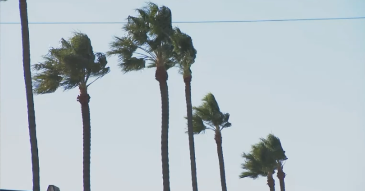
After a chilly start to the weekend we will look to make some improvements to start the weekend with high pressure passing to the south and surface winds gaining some southerly component. Temperatures are going to come up after a chilly morning and the second half of the weekend looks much nicer. Tailgating conditions will be decent for fall across the northeast, with home games up and down the I-95 corridor in Baltimore, Philadelphia, and New York able to capitalize on the decent November conditions. Not nearly as windy today either as the pressure gradient relaxes.
A day late for the weekend, high pressure settles in nicely on Monday and gives us an exceptional day for mid- November. temperatures a good bit above normal and plenty of sunshine will mark the day. Tuesday will be rather nice as well, but not as warm. High pressure to the south fades while high pressure slides in from the north, bringing a
cooler air mass. Still, high pressure is better than low pressure and the day will be pleasant given the time of year.
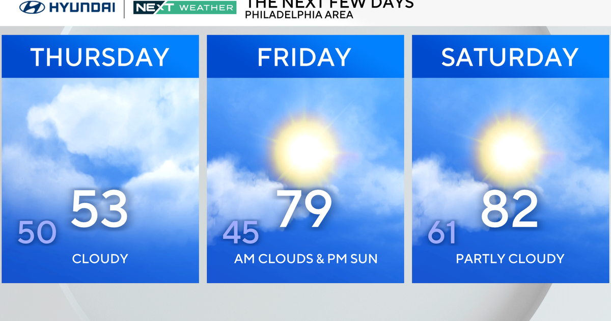
Wednesday is when thing start getting interesting. For those who want today's warmth to return they will get it back Wednesday, but this will be in part due to an approaching low pressure system. On the back side of the high to our northeast, and ahead of the deep low to our northwest, a strong southerly flow will set up and result in tremendous warm air advection. Given the magnitude of WAA I'm not convinced 100% that the day is dry, but for now the percentages play it dry so we will let it ride for now. Maybe mention a PM shower though. Certainly highlight the return of breezy conditions to the area with the pressure gradient setting up, it will be rather windy by late in the day. The front associated with that wrapped up low moves over the region late Wednesday night into Thursday and brings with it a serious round of rain.
Things will be tapering off by the PM, however some decent urban flooding and other issues may result. I wouldn't be surprised by a rumble of thunder or two either, especially in southern areas. Despite the impressive boundary that passes over on Thursday, there isn't really a cold surge that accompanies it on Friday, leading to a decent end of the work week (although I'm sure everything will still be soggy after Thursday). Into the coming weekend, the next lobe of the trough dives into the plains, and we may get some cold air into the region, but the most active weather still appears off to the west. The 12z models might provide some more insight into the coming
weekend, as right now its a challenging forecast.
