WEATHER BLOG: Sunday
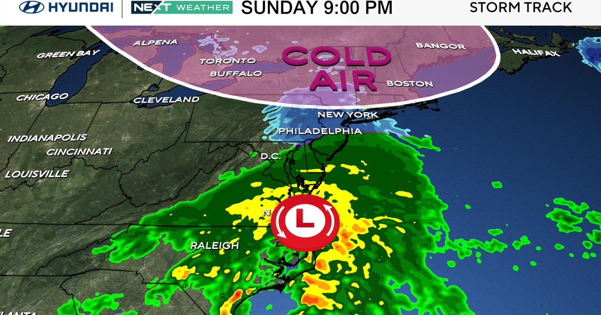
With a front working across the area this morning, expect a cloudy start with the overnight shower activity continuing for a few hours into before ending shortly after daybreak. While the day will start dreary, it should improve a good deal by days end, with high pressure over the Great Lakes sliding eastward towards the area. Despite the frontal passage, cold air is seemingly lagging behind a good ways. Temperatures will be above normal today by a slight margin. As the aforementioned high slides east and skies clear out, the cold air aloft will finally reach into the area. This combination will bring a sharp fall off in temperatures overnight tonight, and while it will feel much colder, we wont be getting much below normal. The clear skies and high pressure will stick around tomorrow and we should see plenty of sunshine as a result.
Tuesday into Wednesday will see the next change coming to the area. Tropical moisture from the Gulf (a good portion of which was once Patricia) will be building up the east coast, while a trough digs into the northwest and forms an area of lee-side low pressure over the Plains. On Tuesday skies will cloud up rather quickly across the east. Rain will hold off however thanks to the departing high, with precipitation barely reaching Pittsburgh through the Delmarva by days end. Overnight on Tuesday night that rain will slowly creep northward, but will struggle to get eastward, with rain reaching Syracuse around the same time as it gets to Philadelphia. The rain doesn't get into New York City or New England until Wednesday morning. A good soaking rain is possible across a decent portion of the Northeast with precipitable water
running high thanks to the tropical moisture. Eventually the worst of the moisture will pull north, and much of the I-95 should dry out on Thursday. A warm sector will develop and between the warm air aloft and sunshine, it will feel more like a nice September day than one of the last days of October. Back to reality on Friday though, when the upper trough makes itself known as the pattern continues to slide east. Expect a big temperature drop to near or below normal for Friday. It will however, stay sunny for the most part despite the chillier temperatures. High pressure will be the next feature to slide east on Saturday, leading to a pleasant Halloween!
