WEATHER BLOG: Sunday
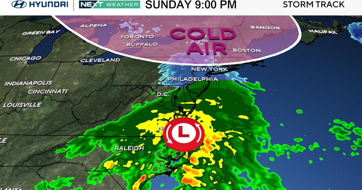
A large upper level trough will linger through Monday, meaning the coldest air mass of the season will stick around through then. Tonight, we will likely see another freeze north and west. This one will be even more damaging than the one this past night. Even Baltimore-Washington metro will see some frost and dip into the middle 30s. Today will be the coldest day (both aloft and at the surface) of this stretch as an upper level trough swings right through the northeastern US.
We may be able to see some sunshine through the day, but given the cold aloft, we should see a fair amount of clouds around. This will make it very tough for surface temperatures to struggle back into the lower 50s all day... would not be surprised at all if it doesn't get out of the 40s in some of the area. Tonight will likely be the coldest night of the year, with many getting into the middle to upper 20s away from the metro area as a surface high moves in the from the west, allowing us to radiationally cool. This will surely kill most plants left outside. With the surface high overhead Monday, we should start next week with more in the way of sunshine but it will remain well-below normal with highs only in the low 50s (10 below normal.) By Tuesday through the middle of the week, the high will move off the coast, allowing temperatures to warm into the mid to upper 60s. Wednesday and Thursday may reach the lower 70s!
