WEATHER BLOG: Upper 70s Across Northeast
High pressure in the Eastern Region will be the dominant feature over the next few days… Satellite
imagery during the night has been showing the back edge of a cirrus cloud shield pulling away from the
coastline, and the clearing that has occurred well inland has allowed patchy fog start forming… This fog isn't
expected to be widespread or dense, and today will bring us plenty of sunshine and a warmer afternoon…
The temperature will wind up in the upper 70s across the Northeast's interior and the low 80s in some of the
larger cities, or a decent 4-8 degree jump when compared to yesterday.
The axis of the high pressure system this morning extends from Maine to Michigan. The highest barometric
pressure readings (surface-based) in North America since Monday have been located in central Canada, and
the core of these will be migrating into Quebec the next 36 hours. Meanwhile, some of the warmest air
located in the middle and upper levels of the atmosphere as of this writing resides in the central Great Lakes
region… This 'bubble of warm air aloft' is expected to begin expanding on this first day of autumn, and
should also cover most of the mid-Atlantic region and southern New England by early Friday morning…
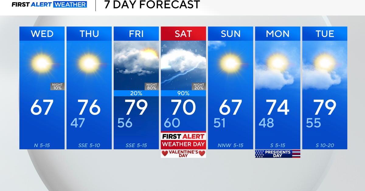
So, we're being dealt a 'straightforward hand' the next few days. Temperatures on Friday and Saturday will
still be above the seasonal averages, even though there'll be some clouds as well as sun.
