Tropical System Could Hit Maryland Early Next Week
BALTIMORE (WJZ) -- Some tropical weather could be coming our way.
Meteorologist Tim Williams reports.
Tropical Storm Karen has formed in the Gulf of Mexico. The U.S. National Hurricane Center projection puts the storm in the form of a tropical depression in Maryland by Tuesday.
With a continuous flow of moisture northward along the Eastern Seaboard, there will be a low pressure system creeping northward in the Gulf of Mexico on Saturday. It will be the remnants of Tropical Storm Karen.
This moisture will also be getting gathered up by the next cold front, which will be reaching the East Coast later on Monday or Monday night.
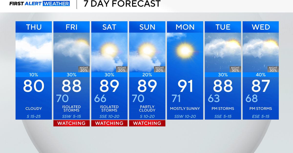
So we anticipate that Monday will bring a few showers and perhaps a thunderstorm, and this activity could drag on into Tuesday.
We want to emphasize Monday will probably still manage to bring widespread temperatures in the 70s, despite the increasing likelihood of some rain, and temperatures during the middle of next week should roll back to "near normal" levels for this time of year.
We were hinting earlier this week that several places next Tuesday and Wednesday could fail to get out of the 50s, but it appears now that the coolest air located in the Midwest on Sunday will tend to lift northeastward and into Canada.
Related Link: Track The Storm Here
Other Local News:


