BLOG: First February Saturday
Things are moving along with the warm front and the wave and we sped up the rain to allow it to start in Baltimore mid to late afternoon. Looks like the rain can mix with wet snow to the north, but no accumulation before ending from northwest to southeast Sunday morning as the wave exits to the east. Dry air will follow allow some sunshine to return and temperatures will rise several above average.
The flow will turn a little more westerly at the surface Monday allowing temperatures to reach the low 50s. This will all be taking place to the south of a cold front moving southward across eastern Canada. This front will move though the area Tuesday with little in the way of moisture and only patchy clouds. This front will stir a breeze at times Tuesday and deliver chillier air with high pressure building to the northwest Tuesday night. This high will slide to the east for chilly weather Wednesday.
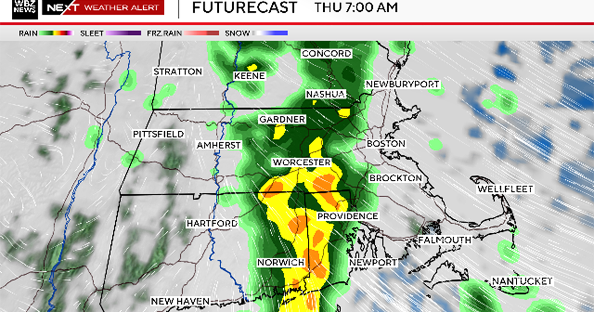
Also, the Canadian, European and GFS models from 00z show a short wave supporting a weak wave of low pressure moving eastward that will allow clouds to increase Wednesday. This weak system will bring the chance of a little rain and or snow Wednesday night. It will then move quickly off to the east Thursday. It does not look like a big precipitation maker, on the order of 0.10 of an inch. With some sun returning Thursday and a southwest flow developing ahead of the next surface front approaching from the west, we will recover back into the middle 40s Thursday and should be in the upper 40s for highs Friday when this front crosses the area lacking enough moisture for any precipitation chances.
Some models are hinting at a pretty good shot of cold air coming in behind this front for next weekend, but we played the forecast conservative for now as the models are not in agreement.