Baltimore County Council approves controversial redistricting map

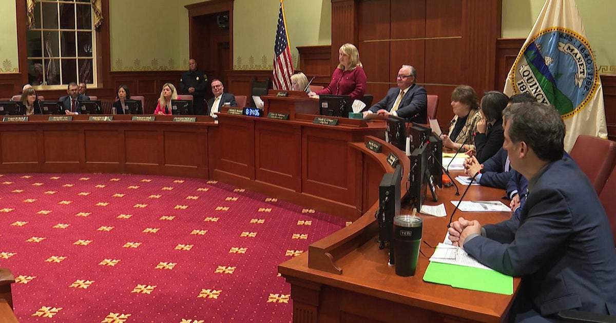
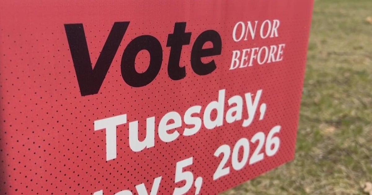
The Baltimore County Council voted on Monday to approve the controversial redistricting map.
The redistricting map creates two majority Black districts and one BIPOC district, all located on the county's west side. The map was proposed by Councilmembers Izzy Patoka and Mike Ertel.
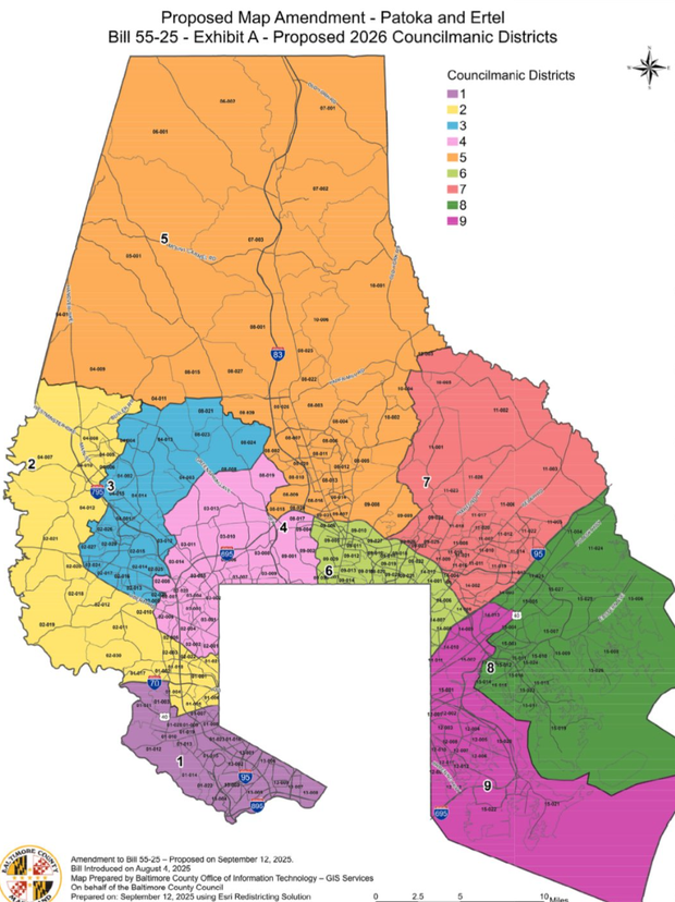
The map passed Monday night unites Reisterstown into one district and unifies other neighborhoods near Pikesville.
Councilmembers David Marks and Pat Young proposed two amendments, moving the lines between districts five and seven, as well as between districts one and two. Both amendments were passed.
Lengthy redistricting process
The redistricting process began after the Baltimore County voters passed a ballot measure in 2024 expanding the council from seven to nine members. Then, a lengthy debate began.
Several maps have been proposed, including a map that accompanied the ballot measure last year.
The Councilmanic Redistricting Commission, an independent body, said it held 13 public meetings and released two draft maps between January and June before settling on the third version up for a vote.
After pushback from neighbors, the council drafted a map. Last week, Councilmembers Patoka and Ertel proposed an amended plan, saying it provides more opportunity for diverse elected representation. This map ultimately passed in the chambers.
On Monday, during a contentious meeting, Councilman Julian Jones proposed a different map design, while Young proposed that the body return to a prior iteration. Both maps were voted down.
There was also a motion to delay the vote until next week, which failed.
Young and Marks proposed two separate amendments to the Patoka-Ertel plan, which ultimately passed and moved district lines in the northeast and southwest parts of the county.
"We all thought we were doing a good thing, and it's been kind of a nightmare," Ertel said.
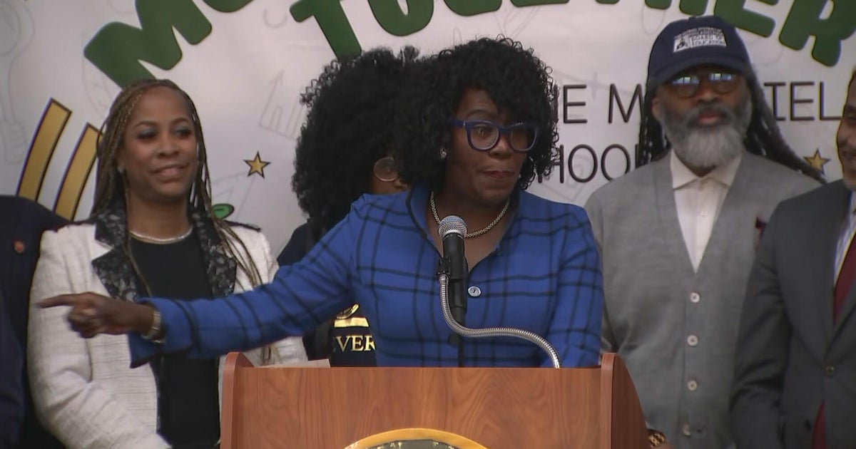
Monday's meeting was heated at times, as Jones criticized Patoka for trying to play political games by dividing parts of Randallstown and Lochearn from each other. Patoka fired back, saying he dug into the data and unified communities, such as Villa Nova and Williamsburg.
"There was a way to form a map to create more opportunity for African Americans to gain elected office," Patoka said. "We're also making communities feel better about where they're represented."
Jones argues that the map dilutes the voting power of Black neighbors.
"In your attempt to add a BIPOC district, when you lower the percentage of people in those districts, you make those districts less powerful," Jones said.
The map debate has centered around which neighborhoods should be represented together and which can be divided, as well as how many majority-minority districts the county should have, as the county's population diversifies.
"I don't think that we've gone far enough by recognizing what our county looks like now in 2025," Young said.
Other councilmembers say this process has divided community members more than it's unified them.
"We've done ourselves a disservice by getting into this process and allowing it to be so divisive based on race," Councilman Todd Crandell said.
ACLU Maryland says this map does not advocate for minority communities. The group tells WJZ the original map proposed by the redistricting commission would be a better fit.
"On the table right now, that is the best map possible for the black residents in the BIPOC residents of Baltimore County. The Patoka map does not do that," said Nehemiah Bester, from the ACLU Maryland..
For and against the redistricting map
The new redistricting map adds more majority-minority districts but has drawn criticism for dividing some communities. The original map proposed by the Redistricting Commission included four minority districts: two majority-minority districts and two BIPOC districts.
The proposal created three majority-minority districts, areas where racial or ethnic minority groups make up more than half of the population.
Before Monday's hearing, a rally outside of the council chambers advocated for more minority representation on the county's east side.
"There should not be a variation of maps that do not coincide with the county charter," said Dr. Takemia Dorsey, president of the Randallstown NAACP.
However, the map splits Woodlawn in the west and leaves eastern Baltimore County without a majority-minority district, which some advocates argue is unfair.
Patoka and Ertel proposed the plan, saying it provides more opportunity for diverse elected representation.
Opponents of the proposal worry it could weaken minority voters' influence in some areas by spreading communities across multiple districts.
Some residents of Woodlawn said dividing their neighborhood undermines their ability to elect representatives who reflect their interests.
Other neighbors on the county's east side advocated for more representation there.
"Do not over-concentrate Black voters in the west to meet a target number while starving the east of influence," Maureen Wambui, a Baltimore County resident, said during a council meeting last week.
What comes next in redistricting
The next potential challenge for this map could be a lawsuit filed against it.
Patoka says he believes the map will hold up in court, but ACLU Maryland told WJZ it believes the map is a clear violation of the Voting Rights Act.
While there was a concern about whether schools would be impacted by these new redistricting lines, they will not be. This is mostly about who represents neighborhoods and your community on the county council.