Georgia ice storm warning expands to metro Atlanta: Here's where the greatest ice accumulation is expected

A dangerous ice storm is expected to move into parts of north Georgia this weekend, prompting the National Weather Service to warn that travel could become impossible and power outages are likely as freezing rain accumulates on roads, trees, and power lines.
Ice storm warning issued across parts of Georgia
An Ice Storm Warning remains in effect from 1 p.m. Saturday through 10 a.m. Monday for portions of north central and northeast Georgia, according to the National Weather Service office in Peachtree City.
Forecasters say significant icing is expected, with total ice accumulations ranging from a quarter of an inch to as much as one inch. Winds could gust up to 30 miles per hour, increasing the risk of falling trees and power lines.
The warning includes the counties of Banks, Barrow, Bartow, Cherokee, Clarke, Clayton, Cobb, Dawson, DeKalb, Douglas, Forsyth, Greene, Gwinnett, Hall, Henry, Jackson, Lumpkin, Madison, Morgan, Newton, North Fulton, Oconee, Oglethorpe, Paulding, Pickens, Polk, Rockdale, South Fulton, Taliaferro, Walton, Warren, White, and Wilkes.
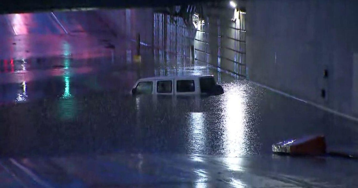
The National Weather Service warns that the combination of heavy ice and gusty winds could lead to widespread power outages and tree damage. Roads may become extremely slick, making travel hazardous or even impossible at times. Bridges, roadways, trees, and powerlines will be the greatest concern.
The storm could also disrupt the Monday morning commute, as icy conditions are expected to linger into early Monday.
Officials strongly discourage travel during the warning period. Anyone who must be on the roads is urged to keep an extra flashlight, food and water in their vehicle in case of an emergency.
Residents are also advised to prepare for possible power outages and to check the latest road conditions by calling 511 for up-to-date travel information.
Ice accumulation risks by city
Forecasters show the highest risk for significant icing across north Georgia, with mountain and foothill communities facing the greatest threat. Blairsville has one of the highest probabilities, with a 58% chance of at least 0.25 inches of ice and a 22% chance of 0.50 inches or more. Jasper is close behind at 57% for 0.25 inches and 30% for 0.50 inches, while Dalton shows a 43% chance of 0.25 inches and 15% for 0.50 inches. Gainesville is also a concern, with a 49% chance of at least a quarter inch and a 26% chance of a half inch or more of ice.
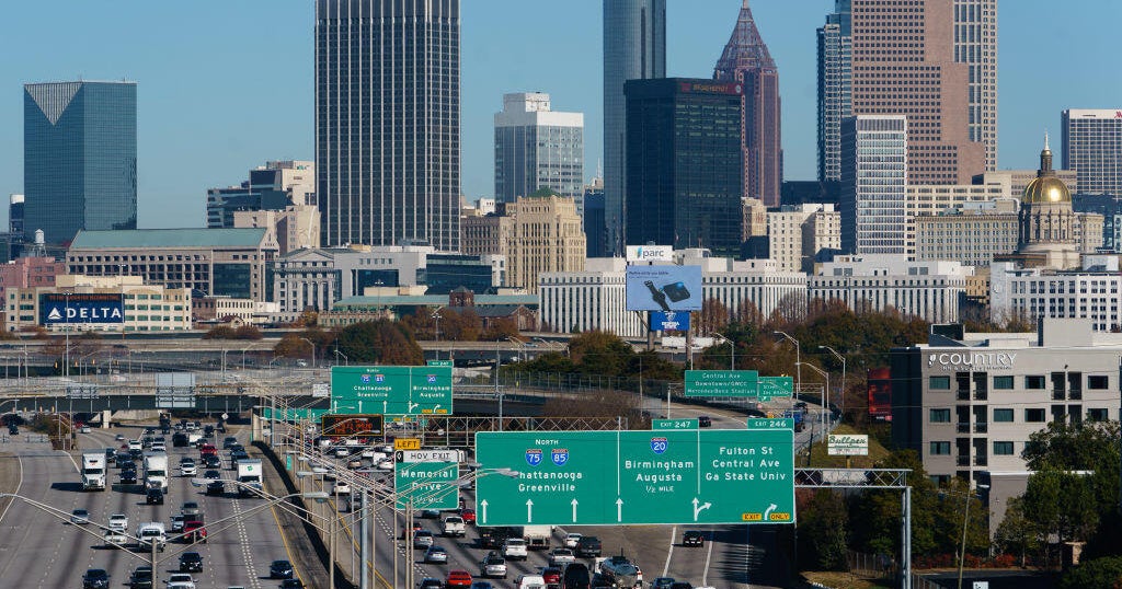
Across metro Atlanta and nearby communities, ice risks remain notable but slightly lower. Atlanta has a 36% chance of at least 0.25 inches of ice, with a 10% chance of 0.50 inches or more, which would still be enough to cause hazardous travel and scattered power outages. Athens shows a 38% chance of 0.25 inches and a 10% chance of 0.50 inches, while Rome has a 35% chance of quarter-inch icing and a 19% chance of reaching a half inch. Farther south, probabilities drop sharply, with Griffin at 21% (0.25") and 2% (0.50"), Carrollton at 22% and 7%, LaGrange at 6%, Thomaston at 6%, Madison at 24% and 4%, Macon at 4%, and Sandersville at just 3%, indicating mainly cold rain or minimal icing impacts in those areas.
Taken together, the data reinforces that north and northeast Georgia face the greatest ice storm threat, while metro Atlanta sits in a dangerous middle zone where even modest icing could severely impact roads, trees and power lines.
Sunday afternoon temperatures will warm into the mid and upper 30s which is of course, above freezing.
There will be a chance for some ice to melt at that point.
Temperatures then drop below freezing Sunday night into Monday. Any melted ice that didn't dry up will refreeze on Monday morning as temperatures will drop into the teens and only warm to the low 30s for the afternoon high on Monday.