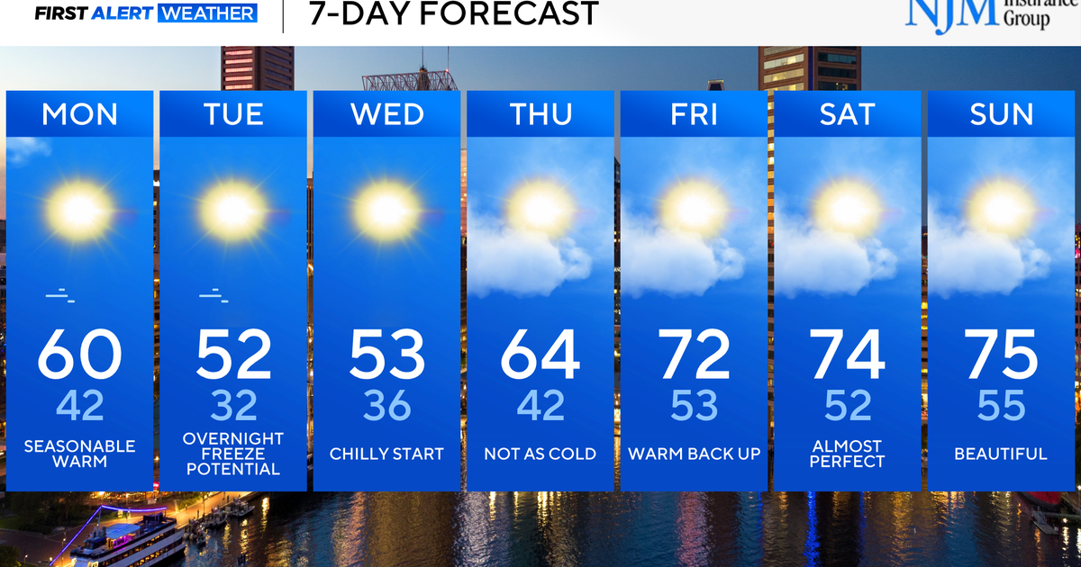
Weather Headlines: June 28, 2012
- Today: 102 degrees. Winds: S 10-15.
- Level Orange Air Pollution Watch still in place today.
- Friday: 100 degrees. Air Pollution Watch likely still in effective.
- Weekend: still on track for that small "cool-back" to the paltry upper 90s. Average high is 94.
- Next week: triple digit heat looks to reestablish itself, just not as strong. Pushing to 100 by the 4th.
The scientific rationale behind the briefly cooler weekend temps is a disturbance moving into the ridge (or what some meteorologists call a weakness in the ridge). It will help to divide the ridge somewhat and break down the heat. Jeff Jamison mentioned yesterday in his update about the western portion of the ridge "retrograding" over the desert southwest which means it's moving westward against the typical weather flow. In the graphic below you can see the weak disturbance now over South Texas that is also retrograding westward, but will take it's time doing so as if it's paddling upstream.
The energy should clear by late Monday into early Tuesday. Here's how things should look Saturday, Sunday and Monday in the graphic below. Unfortunatly, rain chances stay well south.
As we go completely sunny Tuesday into Wednesday with the reestablished ridge, we reflect that with high temps climbing back toward 100 degrees. The heat next week doesn't look as hot as this week. But, one of our models (the ECWMF) is depicting temps over 100 degrees next Thursday through the first full weekend of July.


