Weather Alert Day: Heavy Rain Ahead
Follow CBSDFW.COM: Facebook | Twitter
FORT WORTH (CBSDFW.COM) - A Flash Flood Watch is in effect for North Texas starting Thursday night and running through late Saturday night.
Forecast models vary, but rainfall amounts are expected to be substantial in our area. Compare two of the more popular models (the GFS and the NAM) and their 48-hour predictions.
We believe that rainfall amounts through Saturday night will average from 3 inches to 6 inches, with locally heavier amounts possible. Flooding is likely. If the system slows down as it moves across North Texas, flooding could easily become severe.
We expect scattered precipitation Thursday afternoon to pick up in coverage as we get into the evening. By Friday morning's commute time, it will likely be very heavy.
Another wave of very heavy rain is possible on Saturday in the first half of the day.
Rainfall chances are very high over the next three days.
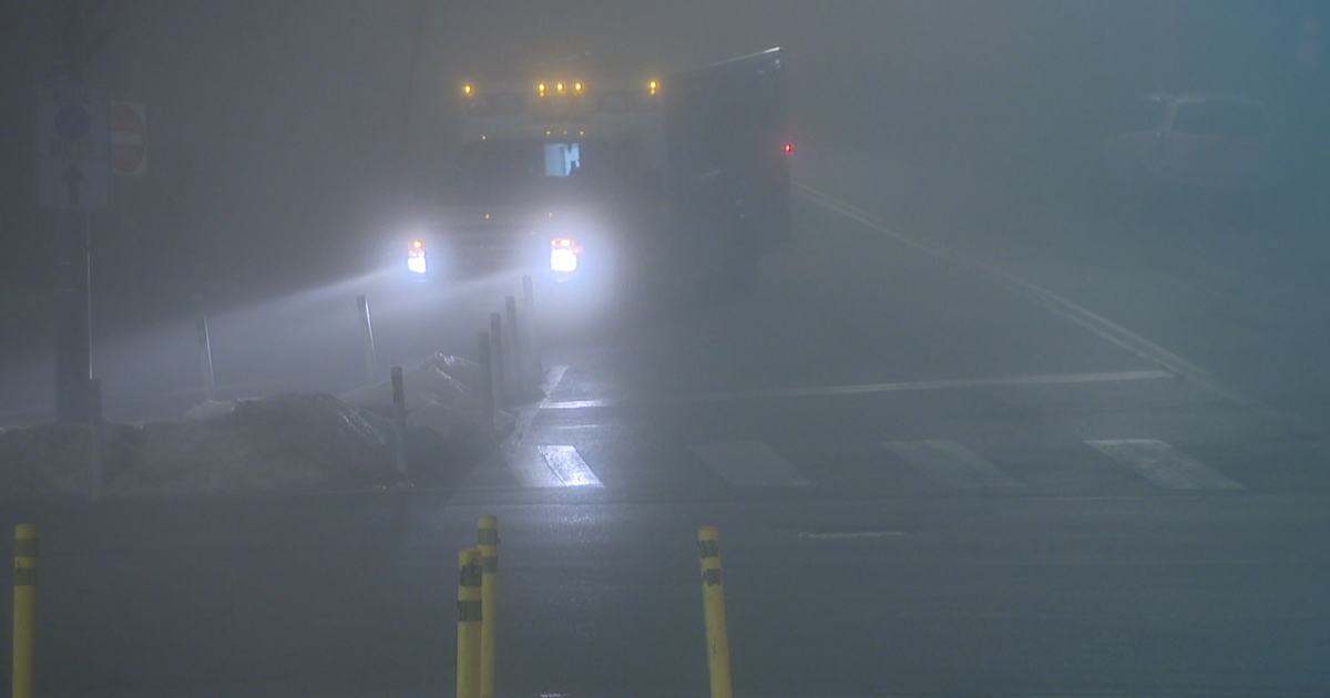
Starting at noon, the CBS 11 Weather Authority will be giving updates every hour on this potential for dangerous flooding in North Texas. If you have outdoor plans for Friday night or Saturday morning, please stay updated on weather conditions. Travel could become hazardous due to high water.
Here is your extended forecast. The heavy rain should be tapering off by late Saturday, but rain stays in the forecast until Tuesday. Temperatures will be much cooler.


