Warm Run to Candy Land
What a run of warm weather of late. Just look at the last ten days at DFW Airport, the official reporting site for the Metroplex. We'll have near record highs today and tomorrow before the heat starts to wane.
Temperatures are supposed to be cooling down this time of year. Instead they've been warming up. This is the warmest last week of October since 1950.
This will go down as the warmest October on record (the previous record was set in 1963). Shaded in yellow are days with above-normal highs, the new normal of late October:
It has also been rather dry, there's been no rain in the area for the last ten days. This is normally the 2nd wettest month of the year. But it's been dry this month (only 2.01" reported). And it's been dry so far this Fall as well. Since Sept. 1st, DFW has only logged around 3" of rain; that's about 3.5" of rain short for the season. Compare this will last year, the wettest Fall on record:
It'll be dry today and warm again. Highs will get within a few degrees of a record high. For those tailgating for the Cowboys game this evening dress for some warm conditions out there in the parking lot:
There is a cold front just to our north but it goes no further. It'll retreat as a warm front tonight across Oklahoma. Tomorrow we are right back to near record highs:
Relief from the dry weather is just around the corner. High pressure to our east will pump up the Gulf moisture, daytime heating and an approaching cold front will help trigger storm/rain chances starting Tuesday afternoon all the way into the weekend:
Dress those trick or treat'ers for warm weather. It'll be dry:
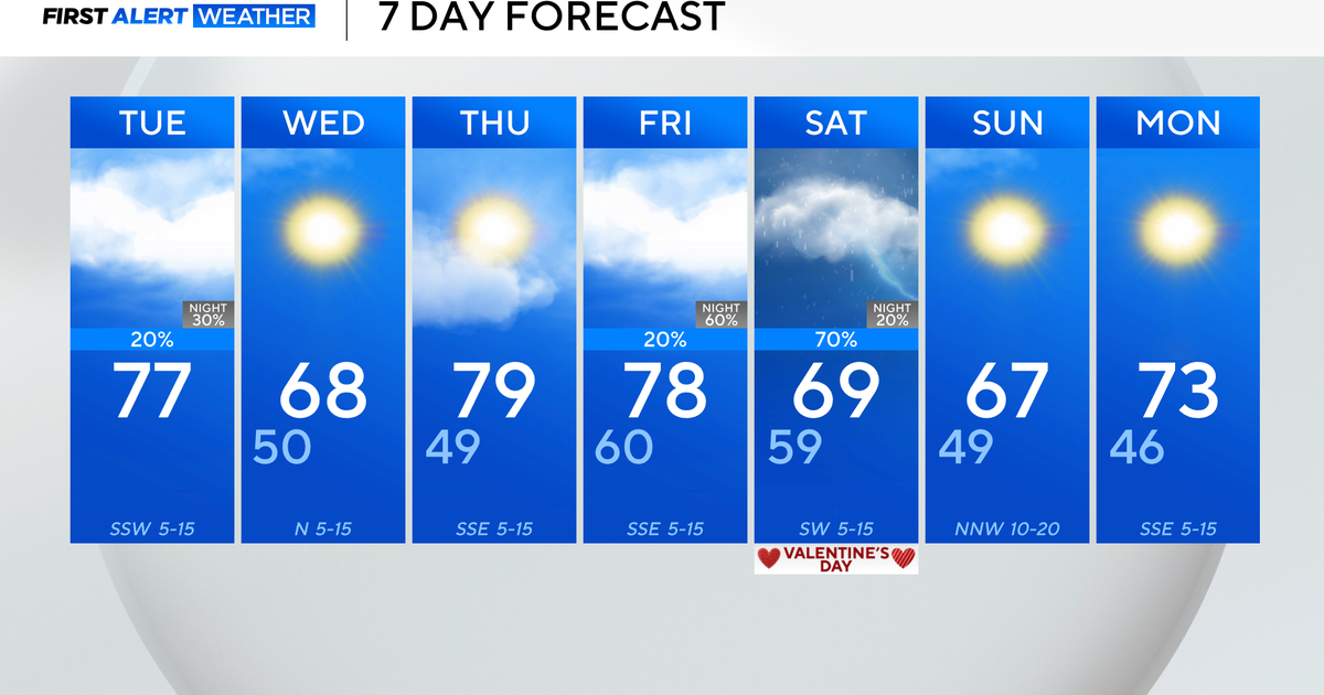
Here is the extended forecast. Cooler weather (around normal) shows up by next weekend. It doesn't look like any cold weather is headed our way as of yet. The forecast for the first week of November continues to show above-normal temperatures for us as well as most of the country:


