Warm and Windy, Storm Chances Wed.
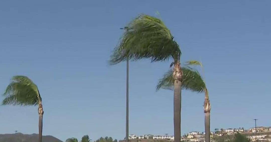
We again start the day with a cloudy, breezy and muggy morning across north Texas. I expect these clouds to break apart in the afternoon hours. Highs should again get into the upper 80's with south winds at 20-30 mph.
Severe weather will form this afternoon along the dryline out in west Texas on the caprock. In the evening hours these storms will move east toward north Texas but die out by the time they reach us.
Tomorrow is a different story. A large upper-level low will move out of the Rockies and onto the plains. It will set up the dry line a little closer to north Texas tomorrow.
This puts the risk of severe weather into our western counties, especially in the NW corner by Wednesday late afternoon and early evening. We could see large hail and damaging winds with these storms.
The risk of severe weather goes into the evening and moves closer the metro area:
Once we get past midnight the severe weather threat dies out. We are hoping to get a little more May rain for this:
We get into the the last days of May with a 90° day on Friday, the first one in about ten days. The start of meteorological summer on June 1 brings a cold front and good rain chances. We could have strong storms in the late afternoon on Saturday with some heavy rain in the evening.