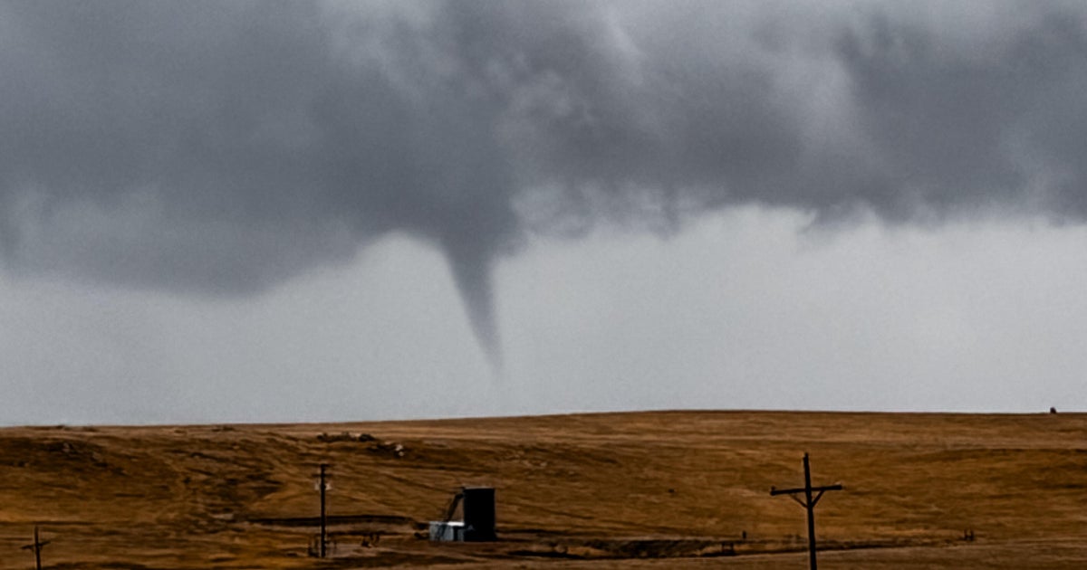
Tornado Threat for Tomorrow...
SEVERE WEATHER POTENTIAL…
For the rest of this afternoon things should stay quiet around Dallas and Fort Worth. The Severe Thunderstorm Watch that was in effect until 5pm has been cancelled. Storms are still lingering well north and east of Dallas. There is a very small chance of a few storms popping up again this afternoon but that is very low. The tornado threat will be increasing for North Texas tomorrow. More on that toward the bottom of this post.
WATCHING STORMS IN OKLAHOMA…
A new tornado watch as been issued for western Oklahoma and for the top row of counties from Wichita Falls to the west. Here is a map of the watches still in effect.
The storms that develop along the dryline in Western Oklahoma will stay north of the Red River. Are really only shot of rain this evening and overnight is if an MCS can develop in Oklahoma and then dive southward. That might be possible for area north and east of Dallas along the Red River. The probability of that happening is pretty low. But it is something we will have to watch.
TOMORROW'S SEVERE WEATHER SETUP…
A very strong upper level disturbance will be moving thru the Southern Plains tomorrow. The dryline which you can see is well west of us today will move into western sections of North Texas. Storms will develop along the dryline between 3 and 5pm on Tuesday. These storms will rapidly become severe. Very large hail and tornadoes will be possible. Parts of the area are under the Moderate Risk for tomorrow. This is from areas along and west of I-35W and areas north of I-20 so basically our northwest quadrant of North Texas. Below is a map showing the moderate risk that extends all the way up into Kansas.
TORNADO THREAT…
We will have a very strong upper level disturbance moving overhead tomorrow afternoon. That means that air that gets moving up into the sky will be moving very rapidly upward. This will promote strong updrafts that will create the potential for very large hail. Baseball size hail will be possible with some of these storms. There will also be a lot of spin in the lower levels of the atmosphere. This will get the base of these storms rotating. This rotation at the lower levels is what could lead to a few tornadoes. This will likely not be a widespread event at the start. There may only be 2 or 3 storms that develop tomorrow afternoon to our west. But these storms will have a high likelihood of producing severe weather. These storms will then make a run for Fort Worth during the afternoon and possibly make it to Dallas. Before the storms develop it will be hot and muggy with highs around 90 degrees and dewpoints in the low 70s. Very muggy!
WEDNESDAY…
Storms will still be possible on Wednesday for areas south and east of Dallas as the dryline (pseudo Pacific Cold Front) pushes a little farther east. I don't think we will see anything in the metroplex, but it will be hot and less humid with highs in the lower 90s on Wednesday.
THURSDAY THRU THE WEEKEND…
A cold front will arrive Wednesday night into Thursday morning. A small chance of storms in our northeastern counties Wednesday night, but most will be dry. It will turn very pleasant for Thursday with morning temps in the 60s and highs in the mid 80s and low humidity. Winds turn around to the south on Friday and temperatures warm back into the upper 80s and low 90s on Friday. Temps will stay around 90 degrees on Saturday, Sunday and Memorial Day. Right now there doesn't appear to be any rain chances from Thursday thru Monday. But a few weak disturbances will have to be watched for rain chances on Friday and Sunday, but I am not going to include any rain chances at this time.
WELCOMED MAY RAIN…
So far this month including today's rain, at DFW we have seen 6.73" of rain. Meteorologist Jeff Jamison looked up the rainfall for the first four months of this year from Jan 1, 2011 to April 30, 2011. That total was only 5.05". So in the first 3 weeks of May we have seen more rain than we have seen all year.