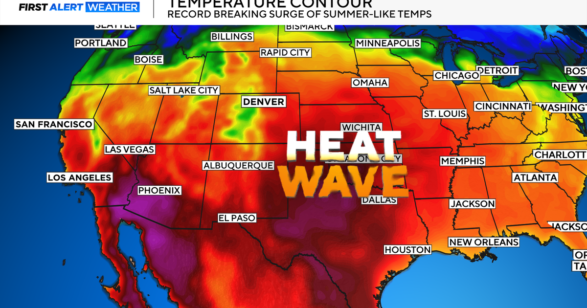
The Nation's Heartland Swelters On The Fourth
In 25 states, 108 record highs were set on July 4th with 164 records set for highest minimum temperature in even more states. St. Louis hit record heat on the 3rd and wrapped up the last three days of June with back-to-back record highs. The heat continues for the same areas today with Excessive Heat Warnings and Heat Advisories blanketing all of Iowa, Illinois and Indiana.
Today: sunny & hot. High 99. Winds: S 10-15 mph.
This July 5th going to feel much like Independence Day except for one change: not as windy. North Texans spending time on area lakes for the holiday had to deal with choppy waters as winds gusted near 25 mph at times. The winds helping the 98 degree high feel a little better. Today we'll shoot for a high of 99 degrees with a few spot 100 degree readings possible.
Tomorrow: mostly sunny & hot. High 100. Winds: S 5-10 mph.
Friday we'll shoot for many areas getting to 100 degrees with the winds even lighter than today. A few clouds in the skies will begin to show us signs of changes on the horizon. And that would be the eastern horizon as the steering winds bring in a couple of waves of energy along the Gulf Coast States.
The wind pattern ahead is outlined in the graphics below with the dominant high pressure ridge (that sweltering heat maker) retrograding into the western US. This will effectively open the door for the mid & upper level energy to move in from the east as it wraps around the ridge. As the ridge drives farther westward and a trough (the ridge's counterpart) over the eastern US strengthens, pattern will open a northwest flow to bring in a cold front by Monday.