Storms West, Staying Warm
We are expecting strong to severe storms to develop out to our west this evening. These storms will threaten our western counties:
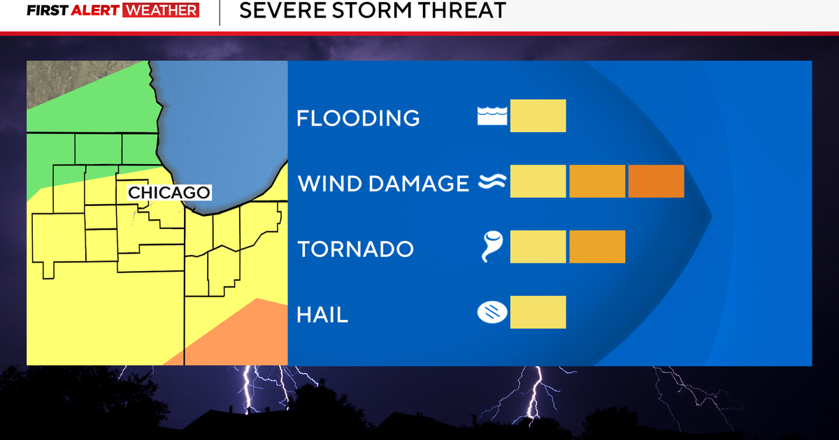
We'll be watching the radar for the rest of the evening, the main threat will be large hail and damaging winds with these storms. The risk runs from Palo Pinto up to Montague counties.
STAYING WARM
We'll close the last week of April with above-normal temperatures for both morning lows and daytime highs. The run of 80° weather (closer to 90° days lately) that started last Tuesday will continue all the way into the start of May (Tuesday) and next weekend. The storm chances show up again tomorrow in our western counties in the afternoon. There will be a chance of morning rain on Monday in the metro area but the chances will be better northwest into Jack and Denton Counties and up to the Red River.
Highs tomorrow through Tuesday will be in the mid-80's. We'll be back to the upper 80's for Wednesday thru Friday.
The rain/storm chances are extremely small from Tuesday to next weekend as the mid-level of the atmosphere will be too warm and inhibit convective development.
So the trend continues: not much in rain chances and warm temperatures. No heat waves but certainly no quick return to "normal" temperatures or decent rain chances. The Climate Prediction Center continues to post an outlook in May of above-normal temperatures likely across the state of Texas: