Storms Southwest & Getting Closer
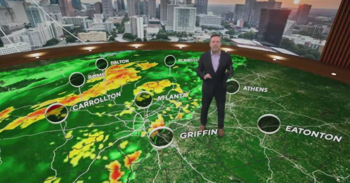
We'll spend this evening watching severe weather down to our southwest, most of it out of our area. There is a T'Storm Watch box in effect until 10pm:
These storms don't look to threaten the metro area tonight but should clip our southwest corner later tonight. Expect large hail and damaging winds with these storms, the atmosphere is very unstable. They developed rather rapidly this afternoon; surface temperatures were near 100° where they started up.
SUNDAY
We'll have a few clouds around in the morning and then get some sunshine. Expect yet another very hot and humid day. The "feel like" temperature will again close in on 100° by mid-afternoon. Afternoon storms will develop tomorrow in our northwest corner ahead of a cold front:
There will again be a risk of severe weather with these storms. Just like last night and this night, these storms will last well into the evening.
WEATHER CHANGES THIS COMING WEEK
After what will be four days-in-a-row of 90 degree weather big changes are ahead. This approaching cold front moves through overnight into Monday morning. It'll be a focus for rain and storms on Monday afternoon across most of the metro area. Highs will get into the mid-80's, still above normal for this time of year. That will make 14 days-in-a-row DFW has logged a daytime high above what you'd expect here in mid-Spring.
TUESDAY
Mostly cloudy skies on Tuesday and a 40% rain/storm chance for the day. Highs will barely get to 80°. Some of these storms will still be around later that night and perhaps Wednesday morning.
THURSDAY/FRIDAY: BETTER RAIN CHANCES
An upper low will move out of the desert southwest and move right over north Texas. This brings in very good rain chances and cool weather as we head into the weekend. Highs should only be in the 70's and rain chances will be around 40-50% . The cooler temperatures will be around for next weekend as well with highs in the 70's. Not summer yet! Below you can see the generous rains that will come into Texas thanks to this weather system:


