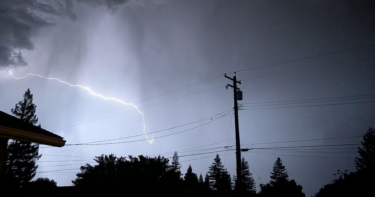
Storm Threat Overnight
We are monitoring the edge of the Edwards Plateau to see if storms start up over the next hour. With the CAP eroded and high surface dewpoints these storms could quickly blossom into a severe threat. Below are two small snapshots for the WRF TTU Forecast Model:
2:00 AM
4:00 AM
We are watching the area for development.
EASTER STORMS AHEAD
If this storm risk doesn't play out overnight we'll be waiting till daybreak for the next round of storms to come into north Texas. The area of rain up in the Oklahoma Panhandle should morph into a cluster of storms and dive into north Texas around daybreak:
Easter Sunday sunrise at DFW Airport is at 7:18am. We have a severe weather threat across the morning. Damaging wind and large hail will be the main threat by these storms.
The threat of severe weather is higher later in the morning when these storms arrive to the southeast corner of our area. By mid-afternoon the threat will be well to our southeast and out of north Texas. Despite a north wind and a cloudy morning I do expect temperatures to rebound into the low 70's by afternoon.
MORE RAIN, THEN MORE COLD
We are still watching a major pocket of cold air to come down from the northern plains and invade Texas by Tuesday. We have excellent rain chances to start April with; both Tuesday and Wednesday look to be cold and wet days. Overnight lows won't get down into the "late frost" range but highs will only be in the 50's.


