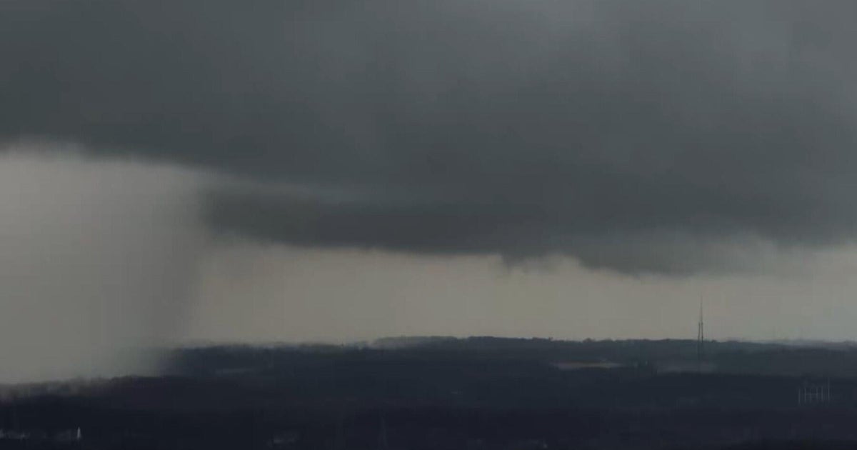
Late Storm Risk To The North
-CLOUDS COME IN TONIGHT, RAIN CHANCES LATE
-MORNING TO MID-DAY RAIN/STORMS SCATTERED ABOUT; THEN WINDY AND COOLER
-GREAT WEEKEND AHEAD WITH SOME COLD NIGHTS
Tonight: Storms after midnight, some strong along Red River. Lows upper 50's, winds S 15-20
Friday: Scattered Storms, 50% chance. Winds Turning to NW 15-20 and Gusty. Around 70 by Mid-day, Upper 60's by Afternoon.
Saturday: Sunny and 71°, Winds NNE 10-15
Sunday: Sunny , Upper-70's, Winds SE - 5
As a cold front approaches from the northwest there could be strong storms along the Red River. The greatest risk from these storms will be large hail.
A cold front comes through the metroplex tomorrow morning bringing a 50% rain chance. We are not expecting strong storms with this event around the metro area but there could be some strong storms in the afternoon hours to the east of DFW.
Temperatures are certainly going to be different. After a high today of 83°, tomorrow afternoon temperatures will be in the mid-60's! A strong cold wind (NW 15-25mph) will make you need a jacket or coat if you heading out to the Art Festival in downtown Fort Worth.
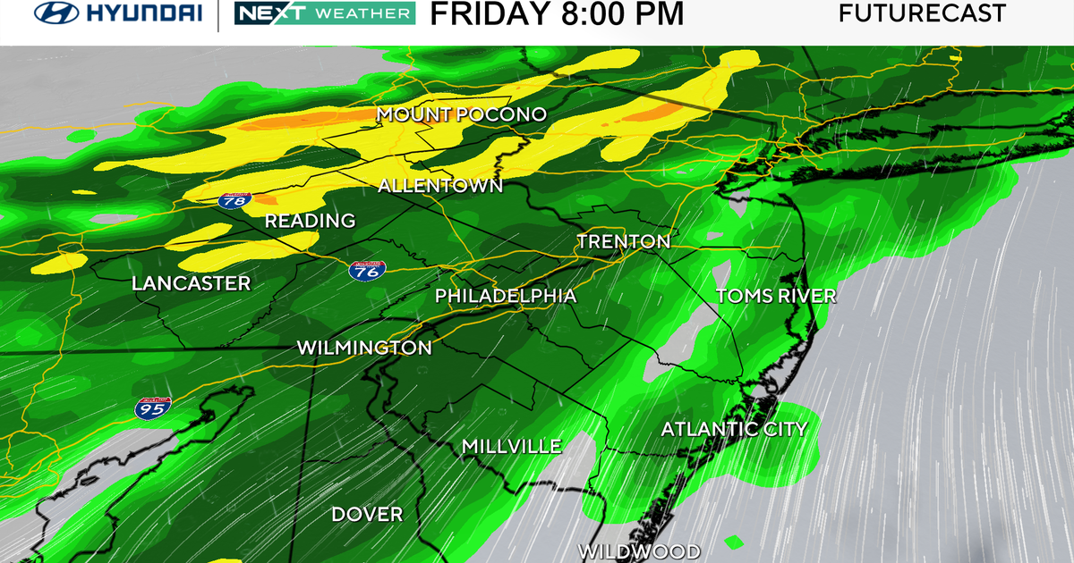
As far as the timing of the rain chances tomorrow below you'll find three graphics showing the rain chances during the morning, afternoon and evening tomorrow:
7AM TO NOON
NOON TO 6PM
6PM TO MIDNIGHT
WEEKEND LOOKING GOOD
As high pressure builds in behind the cold front it'll be breezy on Saturday. The morning will be somewhat of a shock, lows will be in the upper 40's. It hasn't been in the 40's at DFW Airport since March 23rd, almost a month ago! The sun will warm us up to around 70 degrees but winds will make for a cool day.
Sunday will have just as much sunshine but less wind. Lows start around 50° and warm up to the upper 70's. Great weather!