Storm Chances, But Winds The Main Story
- Windy, Warm Day Ahead: 15-25mph winds with gusts 30-35mph.
- Storm Chance Late Evening: for northern counties 20% chance.
- Windy, Cooler Day Tomorrow: scattered showers & storms.
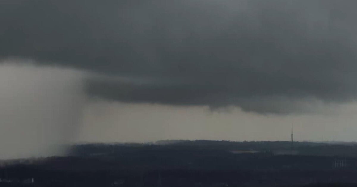
Winds are picking up from the south in response to a developing area of low pressure pushing into the Central Plains. The low and its accompanying cold front will be approaching North Texas late this evening and will arrive in the Metroplex shortly after sunrise. You'll know the front has arrived with the winds shifting north and gusting to 30 mph. We are dealing with a fairly strong cap which will limit activity and severe storm potential during the overnight hours for most of North Texas. However, there is a chance for a few cells to break through the cap for northern parts of North Texas. If it happens, large hail will be likely with the cells. Overnight storm chances 20 percent.
As the cold front shifts southeastward from the morning commute to the midday hours Friday, showers with embedded storms are possible along the front and just behind the front. With atmospheric moisture not being all that impressive, we are expecting lighter rain returns and garden variety showers and storms for most of North Texas. But, as the front shifts farther southeastward, areas like Athens and Palestine could get a strong to severe afternoon storm with large hail and damaging winds possible. Rain and storm chances 40 percent.
By the mid-afternoon, the Metroplex should be mostly cloudy, windy and dry. Skies will start clearing out during the overnight hours and temps will be heading into the upper 40s Saturday morning officially at DFW for the first time this month and the first in about a month…March 23rd it was down to 46 degrees. Plenty of sunshine for both days this weekend with temps running about 10 degrees cooler than normal on Saturday and back to normal Sunday. A warm pattern in the 80s expected to return for next work week.
For the Main Street Fort Worth Arts Festival, rain won't be much of an issue with a decent chance of missing rain altogether. That said, the rain window for the festival will be 7 AM to 1 PM Friday. Showers with an embedded storm is possible, but not severe. Putting the rain chance about 30 percent for the festival during this window. This means, that the winds will be the bigger issue as they gust 30-35 mph between the buildings in downtown today and tomorrow.
TODAY: sunny, windy & warm. High 82. Winds: S 15-25.
TONIGHT: mostly cloudy, breezy & mild. 20 percent isolated storms after midnight. Low: 64. Winds: S 10-20.
FRIDAY: mostly cloudy, windy & cooler. 40 percent scattered storms morning into midday. High: 70. Winds: N 15-25.
SATURDAY: clear and chilly morning. Sunny, cooler afternoon. Low: 49. High: 69. Winds: N 5-15.
SUNDAY: clear & chilly morning. Sunny, mild afternoon. Low: 50. High: 76. Winds: Light.