SMALL STORMS CHANCES THIS WEEKEND FOR NORTH TEXAS. PLUS THE LATEST ON TROPICAL STORM ISAAC...
SMALL STORMS CHANCES THIS WEEKEND FOR NORTH TEXAS. PLUS THE LATEST ON TROPICAL STORM ISAAC...
Another really pleasant August day for North Texas. High temperatures today were generally around 90 degrees. Average high for this time of year is 96 so enjoy this comfortable weather for August.
There will be a few storm chances over the next couple of days. This will be thanks to an upper level disturbance that is currently over Nevada that will swing into the Central Plains. This disturbance brought 1. 65" of rain to Las Vegas on Wednesday! That doesn't seem like a lot to us here in North Texas, but in the past 11 months prior to Wednesday rain Las Vegas had only seen 1.53" of rain!
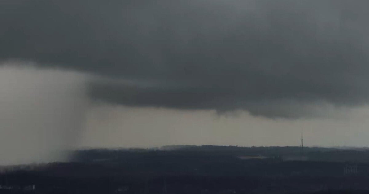
We are mainly looking at pop-up storms starting tomorrow afternoon and continuing each afternoon Saturday and Sunday. Coverage does not look to be very high. Generally around 20% with slightly better coverage along the Red River into Oklahoma.
Here is a look at the rain chances for the next few days.
TROPICAL UPDATE...
There are now two tropical storms in the Atlantic. Isaac and Joyce. Both are minimal tropical storms at this time with winds around 40 to 45 mph. A storm becomes a hurricane when sustained winds are 74 mph or higher. Here is a map showing the location and the projected path of the two.
ISAAC'S IMPACT ON THE US...
It is still way to early to say where or when Isaac will impact the US. The models have continued their general shift to the west today bringing the system into the Gulf of Mexico on Monday of next week. The waters in the Gulf of Mexico are very warm, running around 88 degrees. There are a lot of things that can happen between now and next Monday though. First how the storm interacts with the islands of the Caribbean. Hispaniola is notorious for destroying tropical systems because of the tall mountains there. If a center of circulation goes over the mountains it can be destroyed to a point of no return. There are also some pretty tall mountains in Cuba that could impact the circulation. So depending on where this crosses Cuba, that could have an impact on the storm. But if a circulation survives the islands and moves into the warm Gulf it is likely that it would strengthen.
Here are the latest computer model plots. Each line represents a different computer model showing the location of the center of the storm.
Keep in mind that even if the center of circulation passes west of Florida, the storm still could have a huge impact on the state with heavy rain and tornadoes.