Saturday calls for scattered showers and cooler temps
NORTH TEXAS - We're tracking a few showers and cooler temperatures for your weekend.
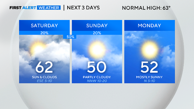
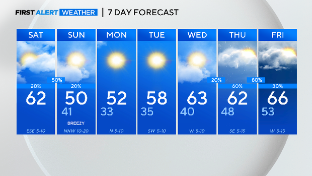
As we move through your Saturday, we'll see a mix of sun and clouds and highs in the low 60s. However, a cold front will push in from the west later today, giving way to increasing clouds and increasing shower chances, especially this evening.
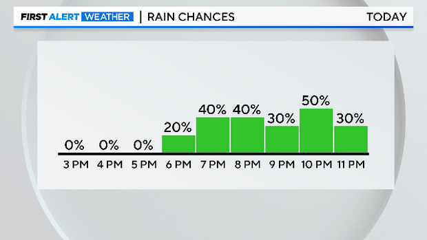
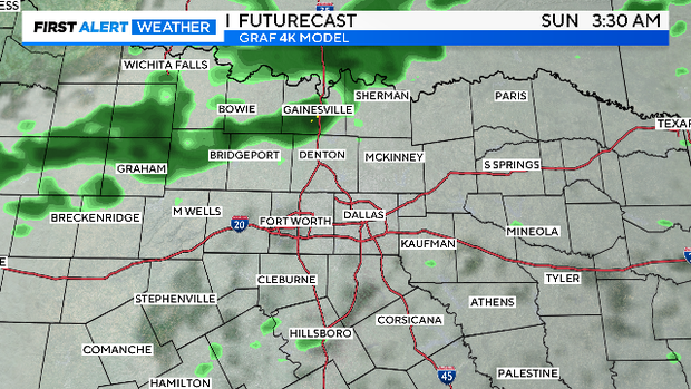
We're expecting generally light to moderate rain in North Texas. In fact, most areas will see between a tenth to a quarter of an inch of rain tonight into early Sunday. Rain chances are at 50% tonight. Low temperatures will be in the low 40s.
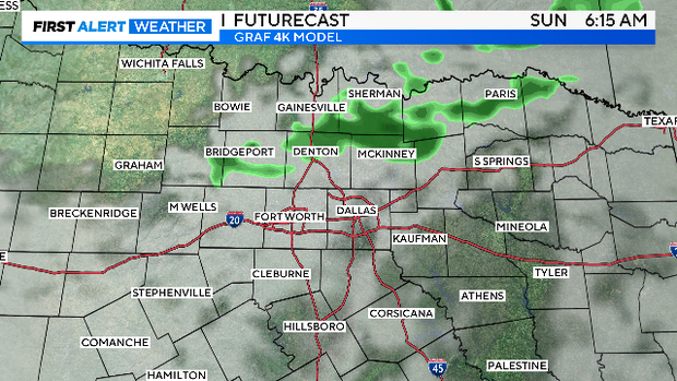
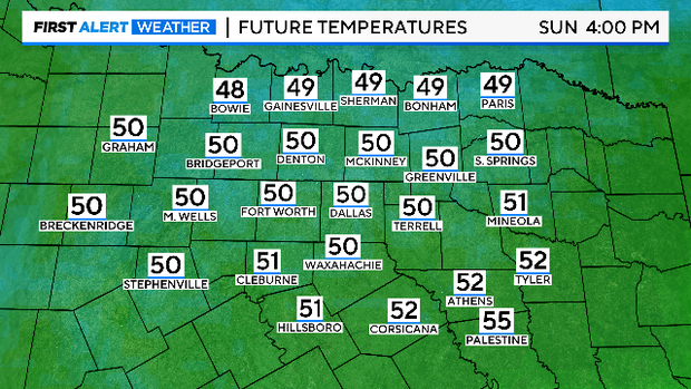
Talking about Sunday, most of the showers will exit the region before sunrise. Sunday's rain chance is at 20%. Then, we'll see clearing skies and much colder weather as winds from the north usher in the chill. We're expecting winds to gust as high at 30 mph from the northwest. Highs will be in the upper 40s to near 50. The winds will make it feel colder.
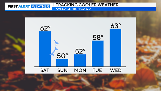
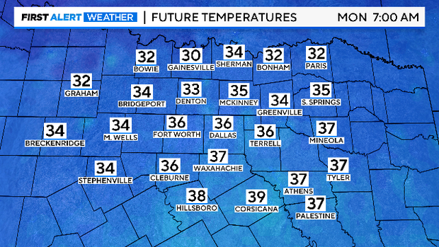
By Monday morning, temperatures will settle in the low 30s. Bundle up! Highs will be in the low 50s under mostly sunny skies.
We'll start our Tuesday with temperatures in the low to mid 30s. Highs will be in the upper 50s under sunny skies.
By Thursday, heads up! A frontal system will bring a higher chance of showers and thunderstorms. We'll need to watch this system. There's the potential for heavy rain and strong storms to develop. We'll alert you to any changes in your First Alert Forecast.