Rain to the East For Columbus Day
As we all know, Texas is currently in the worst one-year drought on record. It stretches back to last October and has cost the state over $5 billion dollars in agricultural loses.
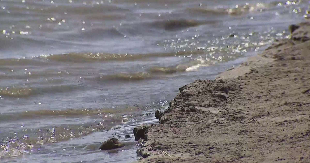
That's is one reason the weekend was such an oddity; it provided a long-fuse, soaking rain. All the heavy rain fell west of the I-35W corridor, amounts hit 1"-2" in the FTW side of the metro area (1.3" at DFW) but in 3"-4" in Denton, Parker and Johnson counties. Reports of a stunning 6"-8" of rain were taken in our western edge. All this water will go a long way to help area water reservoirs.
RAIN IN THE FORECAST EASTERN COUNTIES
There is a little fog this morning in our western counties, a few passing showers from Dallas to the east. The forecast interest of the day is what will the weather be like at 3:16pm in Arlington. We are pleased to announce dry weather for the game today, highs staying in the 70's and partly sunny skies. Winds will be out of the north at 5-10 mph. This is the forecast for all of the metroplex and west. Mostly cloudy skies and occasional showers will dominate our eastern counties from a Bonham to Corsicana line and east.
MOSTLY DRY, MOSTLY PLEASANT WEATHER AHEAD
Tuesday will have mostly sunny skies, highs in the mid-80's. Clouds will gather toward the end of the day and into the evening. A cold front is arriving mid-day on Wednesday. As in approaches it'll produce some rain, mostly in our northwest from Gainesville over to Weatherford by late night and early morning. This meager rain will move across north Texas Wednesday morning, almost all of it along the Red River counties. Skies will clear later in the day. Highs will still reach into the mid-80's.
Highs will stay in the low to mid-80's for Thursday and Friday with lots of sunshine. This coming weekend looks dry with highs in the 80's and lows in the 60's, a little warm of the time of year but still very pleasant.