Five years later, the 2021 deep freeze that left millions in the dark still looms over North Texas
As North Texas endures another stretch of winter weather in 2026, the conditions are reviving memories of one of the most devastating cold events in state history: the February 2021 deep freeze that crippled the power grid and left millions without heat during dangerously low temperatures.
Now almost five years later, the legacy of that storm still looms large. Record-low single-digit temperatures, widespread snow and ice, and prolonged power outages combined into a catastrophe that reshaped how Texans think about winter preparedness.
According to the National Weather Service, the 2021 event stands out among a series of major winter storms that have impacted North Texas over the past 16 years.
January 9-10, 2025: Heavy snow in DFW and along the Red River
One of the most recent significant snow events occurred in January 2025, when multiple rounds of measurable snow fell within a 24-hour period, mainly along and north of the I-20 corridor.
Snow totals exceeded 6 inches along the Red River, with isolated amounts of 9 to 11 inches reported in Cooke and Grayson counties, among the highest accumulations seen in North Texas in recent years.
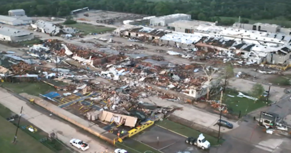
February 14-17, 2021: The deep freeze that changed Texas
The February 2021 winter storm brought a historic arctic outbreak across Texas, with multiple rounds of snow and days of sustained subfreezing temperatures. Areas east of the I-35 corridor and parts of Northwest Texas recorded widespread snowfall totals of 6 to 8 inches, while DFW Airport measured 5 inches, its highest single-event snowfall in more than a decade.
But the storm's most severe impacts extended far beyond snowfall.
As temperatures plunged into the single digits, equipment failed at power plants and wind turbines iced over. The Electric Reliability Council of Texas lost control of the grid, triggering cascading outages that left more than 4.5 million homes without electricity, many for days, during life-threatening cold.
The storm was blamed for at least 246 deaths statewide and caused an estimated $195 billion in damages, making it the costliest winter storm in Texas history.
March 4-5, 2015: Snow blankets the region
A widespread snow event in March 2015 brought measurable snowfall across all of North Texas.
Northern parts of the Dallas-Fort Worth Metroplex into Northeast Texas reported totals of 5 to 6 inches, making it one of the more memorable late-season snowstorms of the past two decades.
Dec. 5-6, 2013: The "cobblestone ice" storm
In early December 2013, heavy sleet and freezing rain blanketed much of North Texas.
The Sherman and Denison areas saw 4 to 5 inches of ice accumulation. Persistent cloud cover prevented melting during the day, allowing icy surfaces to refreeze night after night, a phenomenon forecasters dubbed "cobblestone ice."
Dec. 25, 2012: A Christmas Day winter mix
A strong upper-level system and cold front brought an unusual sequence of weather on Christmas Day 2012.
The event began with hail-producing thunderstorms before transitioning into snow and sleet. The heaviest snowfall, 4 to 6 inches, fell in western Denton County and Collin County, with similar isolated totals reported across parts of Parker, Grayson, Fannin, Hunt and Emory counties.
Feb. 3-4, 2011: Widespread snowfall across North Texas
Snow spread northward from Central Texas in early February 2011, impacting nearly all of North Texas.
Dallas Love Field measured 5.1 inches, while totals of 6 inches or more were common in Collin County and from Corsicana to Terrell and Canton. The heaviest snowfall, 7 to 8 inches, was recorded from Emory and Sulphur Springs to Mineola and Mount Pleasant.
March 20-21, 2010: A rare spring snowstorm
An extreme upper-level low moved slowly along the Red River Valley in March 2010, producing significant snowfall primarily north of I-20.
A narrow but intense snow band formed during the early morning hours of March 21, dropping 5 to 9 inches across Collin County.
Feb. 11-12, 2010: A foot of snow across the Metroplex
A slow-moving upper-level system delivered record-breaking snowfall to Central North Texas in February 2010.
Many locations across the Dallas-Fort Worth Metroplex received a foot of snow or more. Haslet reported 14.4 inches, while DFW Airport recorded 12.5 inches in just 24 hours.
The weight of the snow damaged transmission lines and tree limbs, leading to widespread power outages and lingering impacts that lasted for weeks.