No Trick All Treat
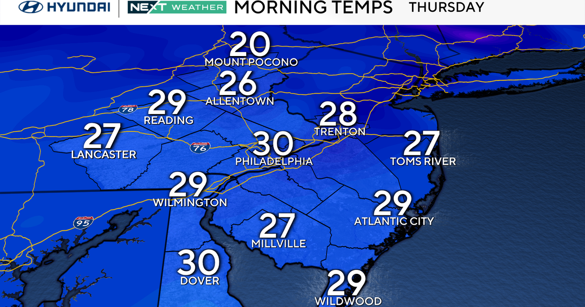
Tonight under clear skies and light north winds we'll have temperatures drop down into the 40's again. A chill in the air can be expected by tomorrow morning to start the work week.
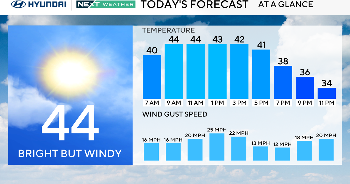
A south wind shows up in the morning, teamed with sunny skies temperatures will rise into the mid-70's tomorrow, a very nice day. For the kids out there working the fields in the annual candy harvest the weather could hardly get better for a late October night. Temperatures will drop to the low 70's by 6:38pm sundown (by the way, the sun doesn't go "down", the world turns). We'll drop down to the low 60's by 10pm. Skies will be mostly clear with a hint of a south wind. Perfect.
WINDS PICK UP TUESDAY
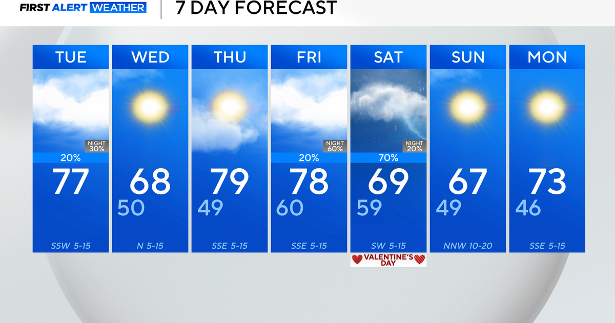
Another storm system is brewing on the front range of Colorado. This might produce yet another early season snow storm for Denver and portions of the central plains including the panhandle of Oklahoma and Texas. For us it'll pick up the winds out of the south on Tuesday (the first day of November) getting the temperatures right back to the upper 70's. Given that we are now a full 10" short of typical annual rainfall anytime the winds get up around here we start to fret about grass fire danger.
WEDNESDAY LATE STORM CHANCES
To early yet to gauge the severe weather risk for late Wednesday. A cold front arrives early in the evening, we could have storms along the front as it swings through. Rain chances don't look overly impressive at this time with this system. It could be an overnight rain that gets into Thursday morning. We'll be warm on Wednesday, in the upper 70's for the third day in a row and breezy. But the front will drop the temperatures into the 40's late that night, we'll wake up Thursday morning with clouds, rain (mostly eastern half) and brisk northwest winds. A reminder again that fall is here. I'll include again th 6hr rainfall totals predicted by two of our favorite forecast models for Wednesday midnight, both show most of the rain to our north and east:
MUCH COOLER ON THURSDAY, WEEKEND FORECAST
Highs should only get into the low 60's on Thursday with a brisk wind and the clouds slow to clear. The shot of cold air isn't as strong as last time, we should be right back to the 70's by Friday and Saturday. Another front arrives on Saturday and this one has all the earmarks of producing some strong storms. We'll have a better idea as we draw closer but the trend of storms-ever-other-weekend looks to be holding. Before you go to bed on Saturday night make sure to set your clocks back one hour as we return to Standard Time. Sunrise on Saturday morning (again the sun doesn't "rise", the world turns) is at 7:48am. On Sunday morning the day starts earlier at 6:49am. The sun dips below the horizon on Sunday at 5:32pm as the day will continue to get shorter all the way to the winter solstice in late December. By the Dec.22nd sunrise is at 7:26am, sunset at 5:25pm, one of our shortest days. Sunday's highs will only be in the 60's on the other side of the cold front that arrives Saturday.
