Labor Day: Talk About Heating Up!
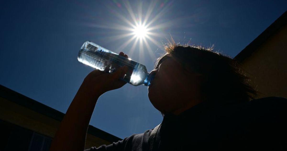
On this Labor Day and first full week of September, temperatures are sweltering in triple digits with a pattern that is typical of Mid-July to Mid-August. Today will mark our second consecutive day at 100+, but it would be our fourth day there if this past Saturday had not officially recording 99 degrees as the high. We went into the weekend with 101 degrees last Friday, the last day of August.
Here's a look at today's forecast highs from our in-house computer model, the FutureSky Forecast. Most areas should uniformly top out near 100-102 degrees with similar readings Tuesday through Thursday.
Today is the hottest Labor Day since Labor Day of 2000 when we hit a record setting 111 degrees. It was also the 4th day in a row of 109+ degree record highs and the 6th day in a row of record heat. Here's the top 5 hottest Labor Days on record.
A pattern shifts looks pretty promising this Friday into Saturday as an upper level trough in the Great Lakes digs deep enough south to send a fairly strong cold front into North Texas. The front will likely trigger strong to severe storms somewhere in a Friday afternoon to Saturday morning time frame with highest probabilities for Friday evening. Damaging winds will be the main threat, but locally heavy rainfall and lightning will be issues as well.
The highs today and tomorrow will be well below the record highs, but Wednesday and Thursday will push to within a few degrees of the records. These highs are certainly much warmer than the average 93 degrees, but will make this coming weekend oh so much more enjoyable!