Isolated strong to severe storms possible Tuesday night into Wednesday
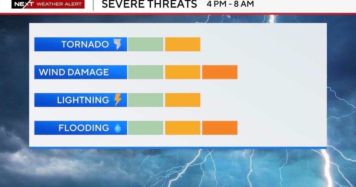
NORTH TEXAS — The alert continues Tuesday night for the potential of some isolated strong to severe storms.
The main threats will be gusty winds, small hail, and flooding rain.
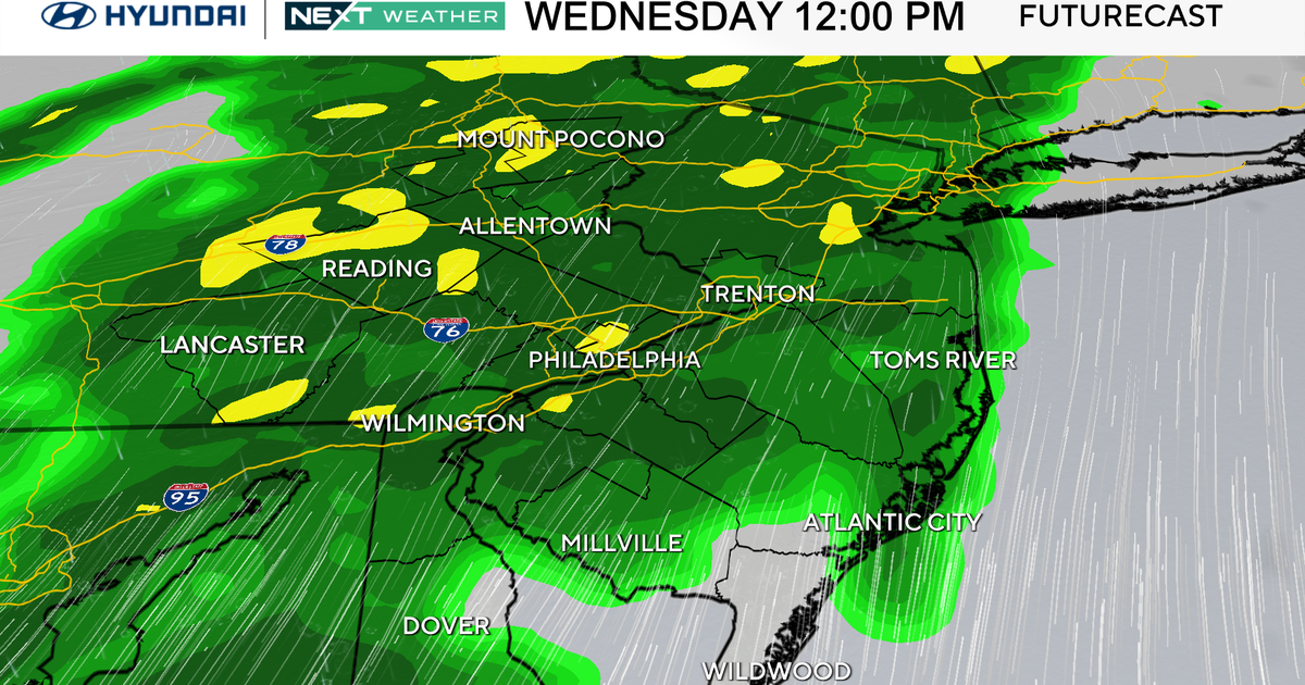
As the upper low out west continues moving east, there will be better upper-level support for more rain coverage. The First Alert Futurecast pinpoints how the precip coverage increases through the morning hours into midday Wednesday.
By the late afternoon hours, most of the rain is in East Texas and we start to see winds sustained near 20-25 mph with winds gusting to near 35mph possible. The wind threat continues through Wednesday evening and there is a chance we will have a wind advisory issued.
The other story into Wednesday is the potential of flooding mainly east of the 35 corridor. Some spots have already seen near 5"-7" of rain over a 48 hour period.
An additional 2"-4" of rain is possible in some locations that have already seeing the large amounts of rain so runoff is possible.
With that in mind, a Flood Watch continues in the east sides of NTX until 7 am but could get extended past the 7 a.m. timeframe.
Once the upper low moves over North Texas, we see the sunshine return and temps warm back into the 70s to 80s this weekend.


