Idiosyncratic Isaac??
As forecasters on multiple levels from government to the private sector tracked Isaac over the past week, Isaac all along seemed to be an uncertain call. Of course, one can say ALL tropical systems are tricky to predict. But, there never seemed to be a confident call on Isaac's track, timing and strength. At one point, it appeared Isaac making landfall in Florida was a pretty good call. And as of this writing, New Orleans is still being lashed with hurricane force winds and massive power outages with the latest spaghetti plot showing potential for rain in North Texas.
As Isaac churned through the Gulf of Mexico on Monday and Tuesday, the storm struggled to intensify as dry air fed into the system and visibly deteriorated the clouds near the center circulation. From the satellite perspective, Isaac appeared to wobble because the center struggled to hold good form. After the dry air mixed out and 86 degree water did its thing, Isaac finally gained category one hurricane status. Even then, the storm had a hard time maintaining its eye structure and was difficult to call on the exact timing of its first of two US landfalls. Radar imagery appeared to show the eye's center making landfall as much as 1-2 hours earlier than the officially declared 6:45 PM landfall over the mouth of the Mississippi River.
Throughout the evening and overnight hours, Hurricane Isaac continued its wobbly ways. The storm made a second landfall a mere 60 miles due west over Port Fourchon, LA at 2:15 AM. It took about 8 hours to make the trek…an indication of just how much Isaac slowed down and of its apparent direction shift parallel to the Louisiana coast. At one point, the National Hurricane Center officially declared Isaac's movement as stationary. This fueled forecast updates that put rainfall totals up to 30 inches. Now, with forward movement resumed at 6-10 mph west/northwest, the rainfall forecast has dropped back to near 20 inches.
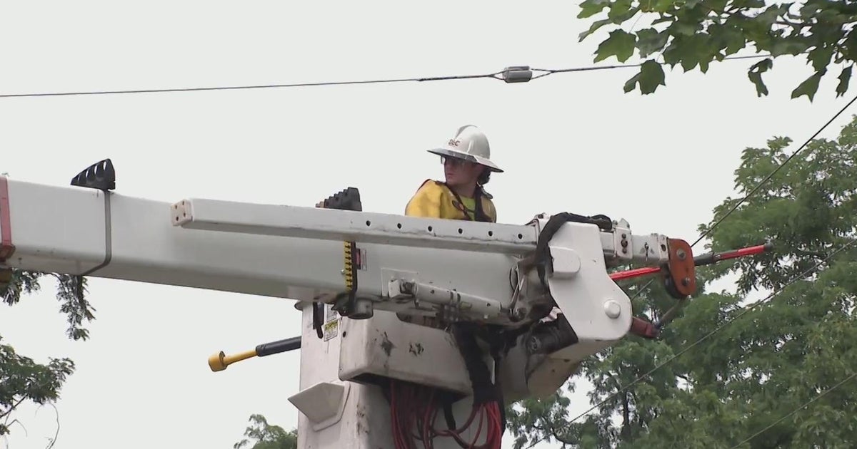
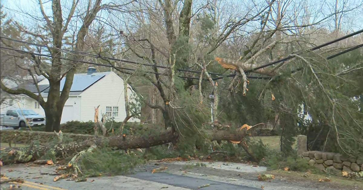
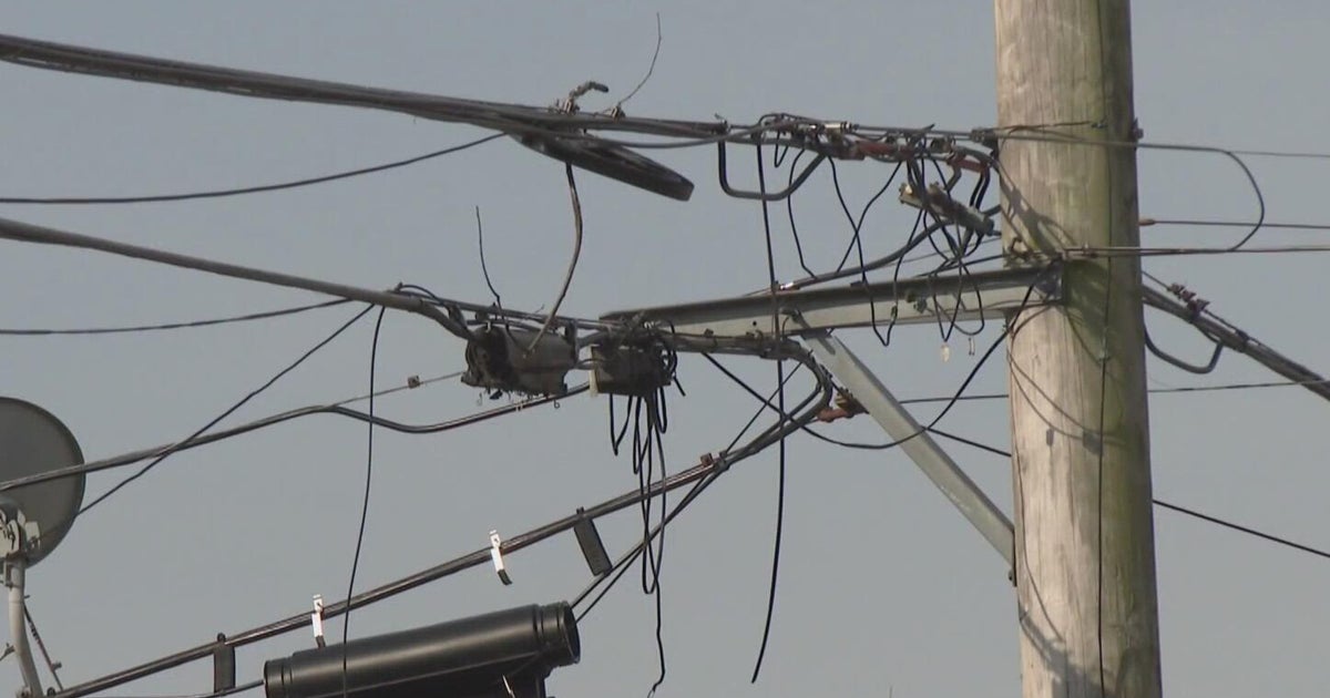
The noon advisory on Isaac confirms Category One winds of 75 mph with movement northwest at 6 mph. The center now about 45 miles inland and 45 miles nearly due west of New Orleans, LA. The number of people without power is well over 500,000 and counting thanks to wind gusts near 100 mph. A water plant in Gramercy, LA just west of Lake Pontchartrain registered a 92 mph gust at 5:30 AM. A co-op station in Terrytown (in SE New Orleans) reported a 107 mph gust at 3:54 AM.
As Isaac tracks northward, our storm team will be watching for rain chances for North Texas Thursday afternoon and night. East Texas is already under a Flash Flood Watch in anticipation of a more westerly move of the heavy rain bands around Isaac's core.