Hot Holiday as Summer Stays into September
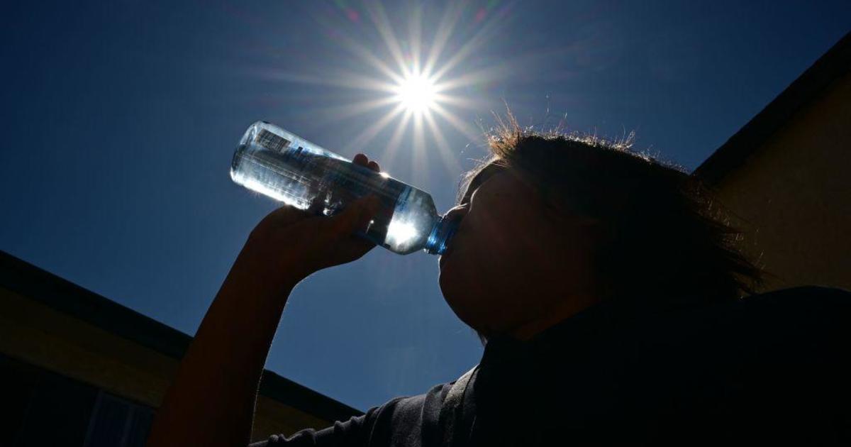
At 4pm the temperature at DFW was at 100°F. This is the 29th time we've hit at least 100 degrees at the airport, the count is the metric in these parts on gauging how hot the summer weather has been.
We are now tied with 2010 and 1953 at 17th on the all-time list for triple digit numbers. Summer ended Friday as the 11th hottest on record. We likely have at least three or four more days of it this coming week.
Sunny skies and nearly rain free conditions will be the story for Labor Day. Highs will again hit triple-digit. I expect these same highs to be around Tuesday, Wednesday and Thursday. Summer stuck in early September.
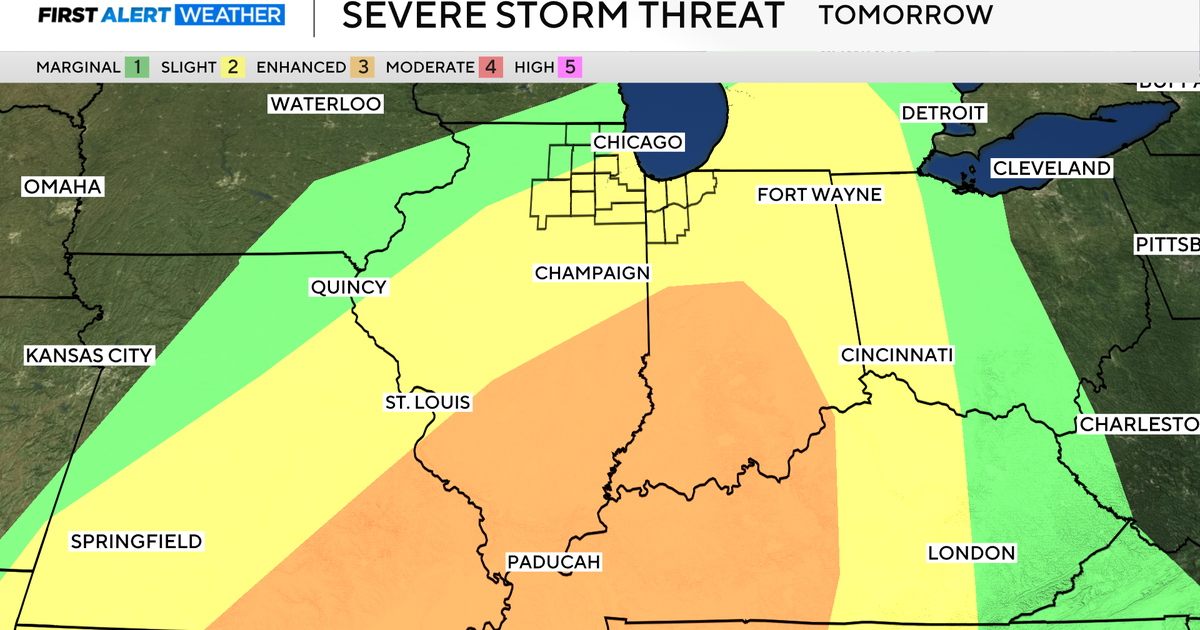
A cold front arrives Friday night. It looks to be a significant one as we are getting further away from the dominance of the summer heat across the plains. We'll have storm chances late Friday, perhaps even severe weather for Friday Night Football.
On Saturday we'll have good rain chances and much cooler weather. Highs will be around 90 degrees but probably only in the 80's for Sunday.
The remnants of Isaac continue to produce severe weather and flooding. Tornado Watches are across MS, TN and KY this afternoon and evening.
The post-tropical circulation of Isaac is moving slowly east along a frontal boundary. It brought beneficial rain to the MO, IL and IN, areas that had been suffering drought conditions.
This circulation is going to really broaden by the time it hits the east coast and be a real thorn to the commuters there for Tuesday and Wednesday. Flash Flooding is a real threat. Though we didn't get any rain from the Tropical Storm it looks like it'll hit the Cowboys. Wednesday night in New York City looks to be a real soaker:
Isaac came on shore last week. It's been bringing flooding rains and severe weather every day since and will continue to do so until Friday. What a run.