Frost Advisory Tonight
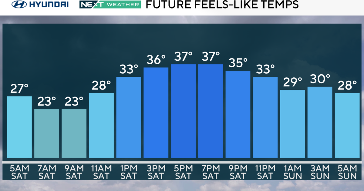
With clear skies & much lighter wind overnight, temperatures will plunge into the mid to upper 30s in many outlying areas of North Texas away from the Metroplex. Check out what we're expecting temperature-wise overnight.
Because we are still in the growing season here in North Texas, a FROST ADVISORY has been issued for Denton & Collin counties plus areas north & east toward the Red River.
Frost is similar to dew...in that water forms on the ground, plants and some elevated surfaces. However tonight, the temperature of the ground itself will be right around 32° and thus ice crystals will form instead of dew. The actual air temperature where frost forms will be in the mid 30s. This will mark the end of the growing season in many areas that see frost tomorrow morning. You want to bring in or cover with a sheet your sensitive plants that may not survive the frost.
WET & WINDY FIRST PITCH IN ST. LOUIS
A large low pressure system is spinning over the Midwest this evening. St. Louis is located on the backside of this low, but is still seeing a bit of mainly light rain this afternoon and evening. During the game, the rain will be fairly light and beginning to slide east of Busch Stadium during the later innings. It will be chilly & windy regardless with temps in the upper 40s.
WEEKEND RAIN CHANCES
After a cold morning tomorrow, we'll see a sunny and mild day with highs in the lower 70s. Look for increasing clouds Friday and then a chance of rain starting late Saturday into Sunday. This rain will be triggered by a fast-moving disturbance rolling in from the northwest. It is beginning to look more and more like a widespread rain event...but the question is when does it start? It appears more likely for rain to develop by sundown on Saturday. This of course, puts Game 3 of the World Series under the threat of rain delays. We'll be able to fine tune this even more tomorrow and Friday. The rain does appear to end by midday Sunday, leaving Game 4 with a better chance of escaping the wet stuff.
