Easter Flooding Rains Mean A Foggy Monday
Dense Fog Advisory until 11 AM
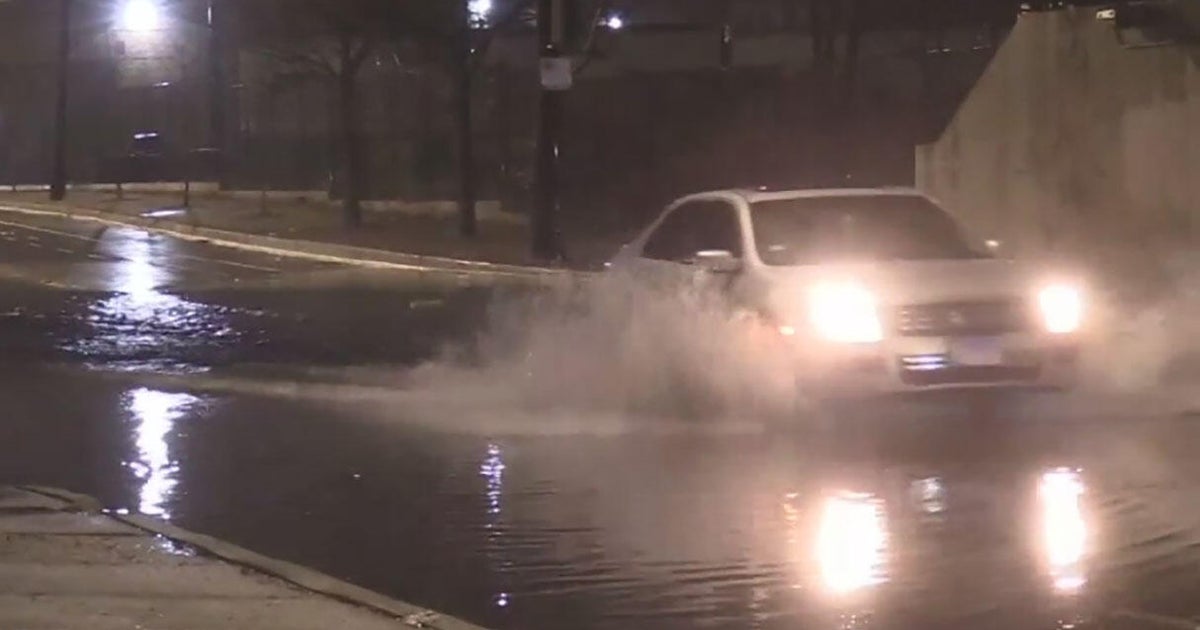
Yesterday's record rainfall providing plenty of moisture plus a stalled front over providing very little air movement and the result in dense fog with visibilities down already reported at DFW and Dallas Love Field at 0.0 miles. The visibility will be down to less the a quarter mile in many locations this morning…especially across the Mid-Cities areas that received the most rain on Easter Sunday. The fog will likely take much of the advisory time to improve.
Once we've cleared from the fog, we will be greeted with a mostly sunny sky for the afternoon with temps near 80. Because a frontal boundary is stalled over North Texas, another round of storms and showers is expected to develop during the overnight hours and move in toward Metroplex for tomorrow morning's commute. Tuesday will start off wet and likely go to a dry afternoon, but we can't rule out spot showers or a storm in the afternoon toward evening hours.
Overall, this week sees a rain opportunity each day as the front remains locked over North Texas and upper level energy rides on top. It will be the timing of these upper level waves that will give us a more accurate call on when rain and storms will occur this week. But, for now we are keeping a general 20 percent rain and storm chance in the forecast every day.
Today
Morning fog, mostly sunny skies. High 80. Winds: S 5-10.
Tonight
A 50 percent chance for showers and storms after midnight through Tuesday morning's commute. Low 62. Winds: SE 5-10.
Tuesday
Morning rain and mostly cloudy afternoon. A spot 20 percent shower or storm is possible, but large dry hours. High 78. SE 5-10.
Wednesday-Sunday
Variable clouds and sunshine with a 20 percent chance for showers and storms. Highs in the upper 70s to low 80s. Winds becoming gusty Friday, Saturday and Sunday.