Dallas Tornado One Year Later And Drought Continues
ONE YEAR AGO TODAY…
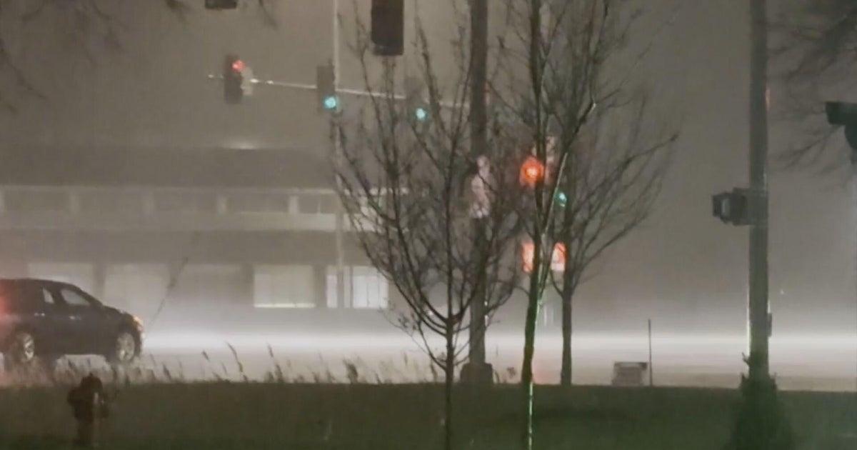
Today is the one year anniversary of the Dallas Tornado and the Arlington Flooding. Both were a result of Tropical Storm Hermine tracking thru the heart of Texas. Some areas on this date last year received 10" of rain. And then in the afternoon 7 tornadoes touched down in North Texas including the one in near downtown Dallas.
SINCE SEPT. 8, 2010… NOT MUCH RAIN…
Since Sept. 8 when most areas saw 6" to 10" of rain, it has been dry. Some areas were already in a drought prior to Hermine's arrival. Hermine provided some much needed rain that helped fill up the reservoirs across North Texas. This is helping us out now as we continue in our drought. But since Sept. 8th the rainfall numbers are pretty bleak.
Looking at the numbers from DFW, we can see the lack of rain.
RAINFALL SINCE SEPT. 8, 2010: 22.49"
DEFICIT OF: 13.65"
Also in the past 365 days, there have been 43 days that have seen measurable rain at DFW. That doesn't sound too bad. But only 16 of those days did more than .50" of rain fall.
DROUGHT WORSENS…
The latest Drought Monitor was updated today. It continues to show how bleak the drought is across Texas. 99.9% of the state is considered to be in a drought. 81% is in an Exceptional Drought. Exceptional Drought is the worst classification for drought. Just three months ago 57% of the state was in the Exceptional Drought category so you can see how the summer's heat has exacerbated the drought.
Below is the map showing the drought in Texas... Darkest Red is Exceptional Drought, the worst classification of drought.
NO RAIN IN SIGHT…
Our forecast for the next 7 days looks dry and warmer. Tropical Storm Nate continues in the Bay of Campeche. It is expected to slowly drift northward over the next 5 days and still be in the Gulf of Mexico by early next week. The models differ on where to take Nate. Some take it into Northern Mexico next week. A few more today take it toward Louisiana. Either scenario means no rain for us. But the scenario of Nate heading toward Louisiana would increase our winds and increase the fire threat just like Lee did.
Temperatures will get hot again next week as a ridge of high pressure builds over Texas. Highs this weekend will be in the low 90s this weekend and then mid to upper 90s next week. I am forecasting a high of 100 on Wednesday of next week. If we get there that would make 69 days this year with temperatures in the 100s tying the record set in 1980.
Here is the 7-day Forecst...
