A Little Rain, Then A Lot Of Warmth
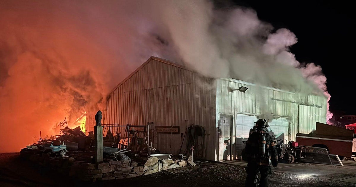
FORT WORTH (CBSDFW.COM) - Emergency crews are still working on the Jack County wildfires, about 10 miles south of Jacksboro. About 7,555 acres are estimated to have been burned as of Saturday evening. That is almost 12 square miles. (To compare, DFW International Airport is about 30 square miles.) According to the latest reports, 60 percent of the fire is contained. The fire also does not seem to be spreading.
Another fire at Big Trickle Ranch in Bosque County is 75 percent contained. About 6,200 acres there have burned. In both of these wildfires, crews have used an air attack to keep the flames from advancing. A few smaller fires started up on Saturday – one near Palo Pinto and another in Hunt County. High humidity and less wind have helped fire conditions.
Low temperatures across the Metroplex on Saturday night will be in the upper 50s (as opposed to the low 40s on Saturday morning). Expect some cloud cover to move in during the nighttime hours, with a steady south wind keeping the evening mild.
Sunday will start with those low clouds, but they should break up a little and let high temperatures to reach into the low 70s. There could be a few sprinkles in the morning, but better rain and storm chances show up on Sunday night. Winds will not be as gusty and humidity will remain high – all helpful news for firefighters battles flames.
A weak cold front moves into North Texas from the north on Sunday. This cold front is going to engage the warm, moist air that is now in place. This will get some storms going. We are not expecting severe weather but, because of how the atmosphere is stacked up, we could get some small hail. Places north and east of the Metroplex are at the greatest risk. Coverage should be about 50 percent.
Winds will turn to the northeast and some cooler, drier air will then move in for Monday. Low clouds and a few showers should be around in the morning hours. Rain chances will then shift to the southeast of DFW and center on a Hillsboro-to-Athens line by midday. But not much rain is expected on Monday, and the high temperatures should stay in the 60s.
These storms on Sunday night and Monday morning represent the only rain chances for the entire week.
The winds will turn to the southeast on Tuesday and high temperatures will be around 70 degrees. Then on Wednesday, winds will start to pick up from the south and we will be in the upper 70s. By St. Patrick's Day, we expect to hit a high temperature of 80 degrees, with a brisk wind and mostly cloudy skies. And look for more of the same on Friday.
There could be a very small chance of rain on next Saturday, but there is little agreement in the long-range modeling at this time. Just about every inch of our area is in a moderate or severe drought – I would rather stay optimistic for rain chances. But the two-week forecast from the Climate Center shows a continuation of warm and dry weather.