Hot Monday, Storm Risk Starts Monday Night
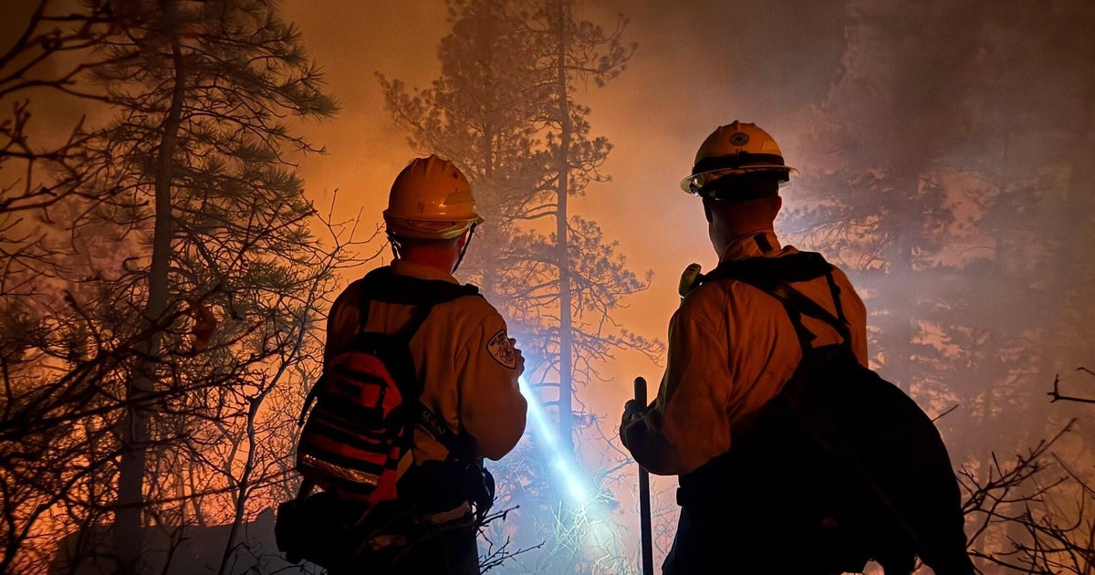
Highs today should have reached into the upper 90's today. What wasn't showing up in the forecast models was smoke from the New Mexico wildfires. This actually kept highs in a few degrees cooler, we peaked at DFW at 92°while it reached into the upper 90's in Granbury and west in Palo Pinto and Stephens counties.
Tonight overnight lows will keep in the mid-70's thanks to a south wind and humid air. Tomorrow has all the markings of a 100 degree weather. We'll likely peak in the upper 90's in most places. It's been 256 days since it hit 100° at DFW, I'm forecasting a high of 97°. Again we'll have brisk south winds by afternoon.
We have two potential sources of thunderstorm development tomorrow evening. One is a dryline west of our area around Abilene, another is a slow moving cold front along the Red River. We'll include a 20% storm chance for the metro area tomorrow night, a 30% chance for our Red River counties. These storms will likely reach severe limits with large hail and damaging winds.
That cold front moves over us heading south on Tuesday. We'll put a 40% storm chance on the board. Highs should still hit 90 degrees or so but rain could cool us down by later in the afternoon.
The front stalls to our south and then moves back overhead as a warm front on Wednesday. This will also produce a storm chance, probably in the morning hours along the front. With a cool start to the day I think highs could stay in the 80's on Wednesday afternoon.
This looks like the only significant rains chances for the rest of the work week. Each afternoon on Thursday to the weekend has a small (10%) storm chance. Highs will again be in the low 90's with brisk south winds and humid air.
