Maps, data show how climate change could affect some major U.S. ports
New USGS data shows port cities like Boston and New York are exposed to coastal hazards, making communities potentially unlivable in the next decade.
Watch CBS News

New USGS data shows port cities like Boston and New York are exposed to coastal hazards, making communities potentially unlivable in the next decade.
Dorchester County is experiencing one of the fastest sea-level rises in the country, where sea levels are projected to rise by 1.4 ft by 2050 and 4.2 ft by 2100 according to research from the Virginia Institute of Marine Science.
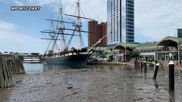
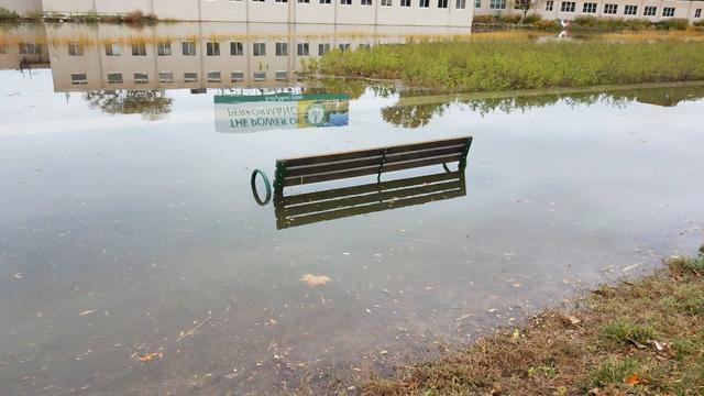
Maryland's 3,200 miles of low-lying coastline is becoming increasingly vulnerable to nuisance flooding as our sea levels continue to rise.

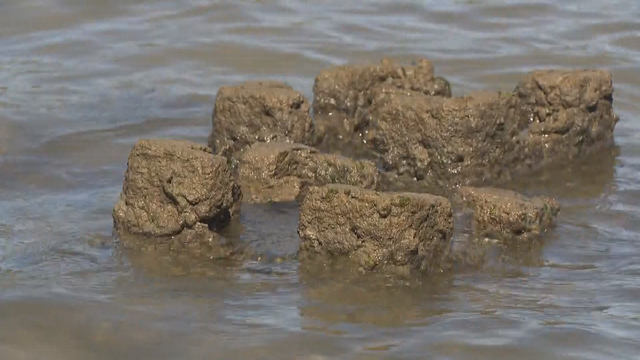
Farmers in Maryland's Eastern Shore are having to rethink their livelihoods as more saltwater seeps into their land, due to rising sea levels.
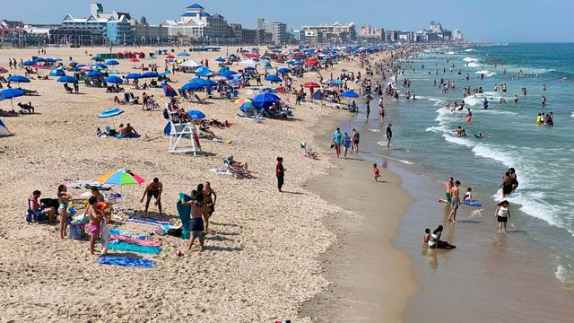
In Ocean City, sea levels could rise anywhere between 1.94 feet and 4.55 feet by 2100, depending on emissions scenarios.

The heartbroken children of Sybil DiMaggio spoke to WJZ in their first interview since the tragedy that took their mother's life.