Popup showers bring thunder, lightning, hail to Bay Area; Flood advisory for Sonoma County
SAN FRANCISCO -- A low-pressure system spinning off the California coast sent waves of cold, unstable air over the San Francisco Bay Area Wednesday, carrying with them the threat of intense downpours, lightning, thunder and hail.
Forecasters warned the system could whip up isolated pockets of threatening conditions. A National Weather Service flood advisory was issued until 4 p.m. for Sonoma County.
"The threat of thunderstorms will be greatest from late morning through the afternoon," KPIX meteorologist Paul Heggen said. "In addition to cloud-to-ground lightning, gusty winds and bursts of small hail will accompany the strongest storms."
By early Wednesday morning, the weather service issued a special weather statement for San Francisco, the San Francisco Peninsula, Oakland, Berkeley, the Santa Cruz Mountains, and Richmond warning of gusty winds, downpours and hail.
In Daly City Wednesday, a massive tree toppled on a car in the northbound lanes of Interstate Highway 280 just south of Highway 1 around 10 a.m., according to North County Fire Authority. At least one lane on the busy freeway was shut down.
In the East Bay, public works crews closed all traffic on Wildcat Canyon Road between Inspiration Point at Tilden Regional Park and San Pablo Dam Road south of San Pablo Reservoir because of storm-related issues, the Contra Costa County Fire Protection District said Wednesday.
At around 11:20 a.m., CHP in Fairfield issued a severe traffic alert due to a landslide and flooding on southbound I-680 between Gold Hill Road and Marshview Road in Fairfield.
The right lane is currently closed. Motorists are advised to expect delays and to use alternate routes to avoid the area. As of 12:24 p.m., there was no estimated time to reopen the roadway.
"We are still looking at the possibility of thunderstorms, potentially containing small hail and gusty winds from this morning through this evening," the weather service said. "Along with the small hail, gusty winds, and lightning hazards, rainfall rates would also increase, possibly resulting in localized minor flooding. These showers and isolated thunderstorms will continue into the evening hours."
In addition to flooding, the rain could lead to more landslides and rockslides across the state.
"We still have road closures in the mountainous areas because of the sheer number of landslides and rockslides since we have been impacted by so many storm systems," weather service meteorologist Roger Gass told CNN.
The cold temperatures also allowed the storm to dump a layer of snow on Mt. Hamilton in the South Bay.
The lulls in the weather on Wednesday will also allow Bay Area residents time to clean up from Tuesday's watery onslaught.
Ben Lomond got 2.14 inches, San Rafael 1.88 inchs, Fremont 1.29 inches and San Francisco nearly an inch.
KPIX 5 First Alert Weather: Current Conditions, Forecasts, Alerts For Your Area
Additional impacts from Tuesday's stormy weather included downed trees and landslides along Highway 9 in the Santa Cruz Mountains, causing multiple closures and other stretches of roadway reduced to one lane open. Caltrans said some of the closures could last for days.
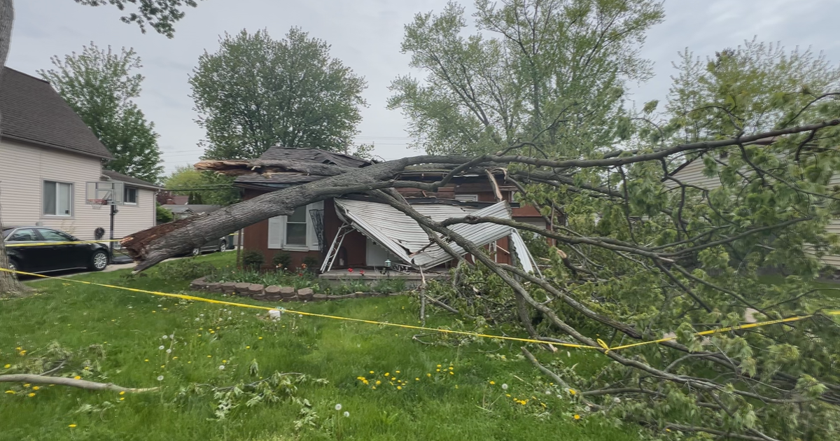
In Menlo Park, a tree fell on top of two homes on Marmona Court near Willow Road, causing the homes to be red-tagged. No one was hurt.
"It was just a slow fall," homeowner Ed Doody told KPIX. "There was no sound. It was like watching an old documentary movie."
Even a day of lighter rain will be elevating the concerns of residents living near a sliding hillside in Point
Richmond. Back in January a total of 15 homes were evacuated due to threats of a slide.
Jeremy Lancaster, a geologist with the California Department of Conservation, said the risks of debris flows and shallow slides are highest during and immediately after strong storms, but the risk of deeper landslides can last for weeks or even months.
"It takes a long time for the water to percolate through the soil down to the rock, 50 to 100 feet down into the hillslope, but we've seen deep-seated landslides occurring, sometimes a couple months after the last rainfall," he said.
For Point Richmond residents like Mary Lou Clarke, the threat of a mudslide still looms large.
"We really didn't want to leave," she said, looking out her back door of a view of the Richmond marina.
And the costs of storm repairs continue to accumulate for the hard hit communities in the Santa Cruz Mountains.
"We have about $90 million in damage cumulatively from late December through March. We are in scramble mode constantly and have been for a number of months now. But this work of repairing storm damage really doesn't end," said county spokesperson Jason Hoppin.
Hoppin says the federal and state government should help with a significant amount of the repair costs. But he cautioned residents to be patient, noting that there is still a backlog of 73 unfinished road repairs from 2017 -- the last time the area experienced an exceptionally wet winter.
"Your local government is going to be on a treadmill forever," he explained. "Unless there's a way to do the repairs quicker. Unless that money comes in faster, we're just going to be working on these things in perpetuity."
In the higher elevations, as much as 3 to 4 feet of additional snow could fall across the already record-breaking California snowpack.
In the central Sierra Mountains, a warning of "large avalanches" has been issued for backcountry areas around Tahoe.
"A powerful storm with gale force winds and high intensity snowfall will lead to widespread avalanche activity in the mountains," the weather service warned. "Large avalanches could occur in a variety of areas."
As of Tuesday, the water content of the snowpack was 228% of the April 1 average, a benchmark for its historical peak, according to the state Department of Water Resources.


